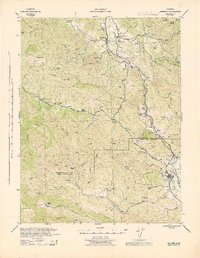
1943 Map of Hopland
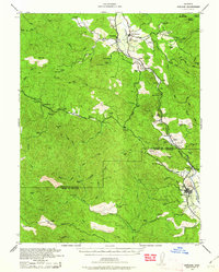
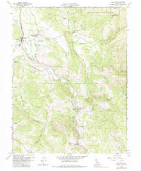
USGS Topo · Published 1960About this map
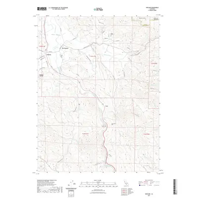
Russian River flows through the heart of this Mendocino and Sonoma County terrain, carving a path between the agricultural flats and the steep ridges of the Coastal Range. In the early 1940s, this landscape was defined by a dense network of family-held properties and specialized agricultural operations, including Valley Oaks Farms and the Rancho Del Sahel. The Northwestern Pacific railroad follows the river's eastern bank, serving the valley's transit needs through hubs like Hopland, East Hopland, and the southern rail town of Cloverdale.
Find a feature on this map
91 named features on this map. Tap any name to fly to it.
Don’t see what you’re looking for? This feature index may not catch every label — zoom into the map to look around manually.
Map Details
Editions of this 1943 Hopland Map
This is the sole edition of this map. No revisions or reprints were ever made.
Historical Maps of Cloverdale Through Time
10 maps found
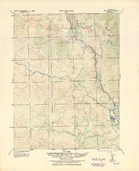
1938 Hopland
Mendocino County, CA
1943 Hopland
Mendocino County, CA
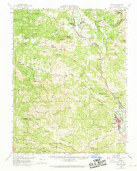
1944 Hopland
Mendocino County, CA
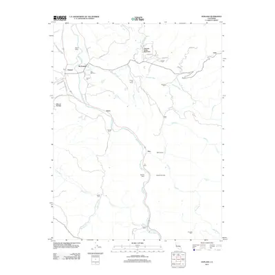
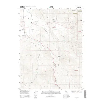
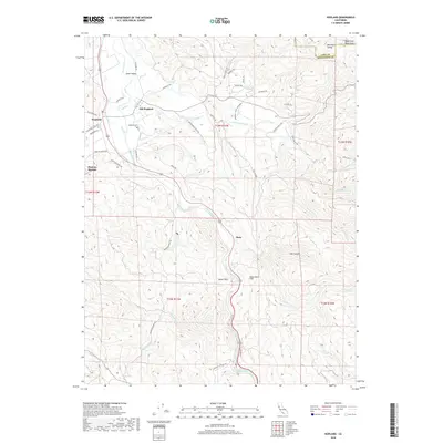
1960 Hopland
Mendocino County, CA
1960 Hopland
Mendocino County, CA
2012 Hopland
Mendocino County, CA
2015 Hopland
Mendocino County, CA
2018 Hopland
Mendocino County, CA
2021 Hopland
Mendocino County, CA

2023 Hopland
Mendocino County, CA