2024 Map of Umatilla
USGS Topo · Published 2024About this map
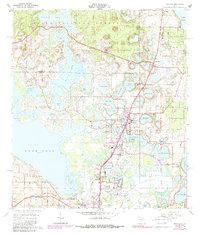
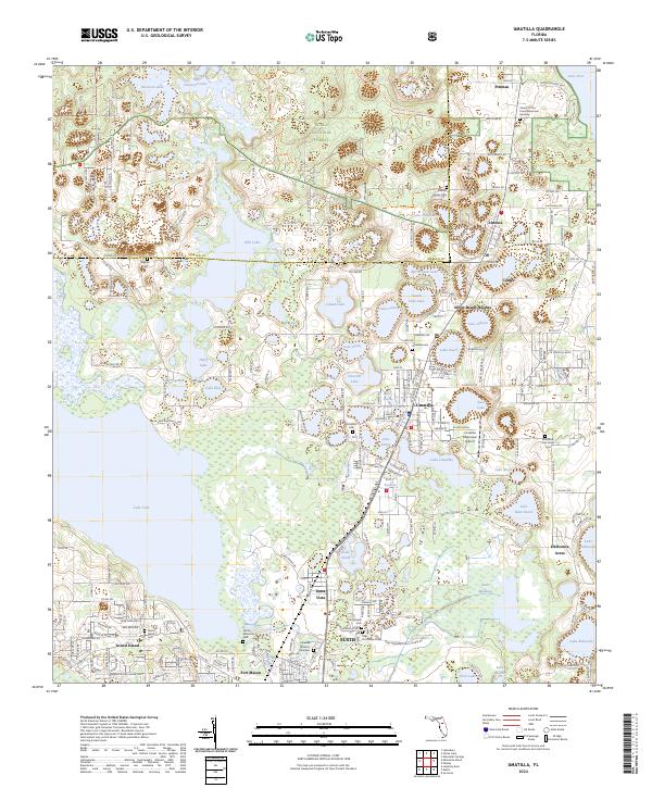
Ocala National Forest dominates the northern landscape of this Lake County region, where the pine flatwoods are crisscrossed by the Prairie Riding Loop Trl and Baptist Riding Loop Trl. This area is defined by its dense concentration of freshwater basins, from the large Lake Yale and Lake Dorr to the smaller, more secluded Lake Hospitality and Nicotoon Lake. The settlement pattern reflects a history of small communities clustered near these water bodies, with the town of Umatilla serving as a central hub.
Find a feature on this map
98 named features on this map. Tap any name to fly to it.
Don’t see what you’re looking for? This feature index may not catch every label — zoom into the map to look around manually.
Map Details
Editions of this 2024 Umatilla Map
This is the sole edition of this map. No revisions or reprints were ever made.