1983 Map of Unikappi
USGS Topo · Published 1983About this map
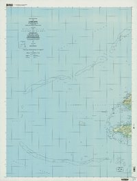
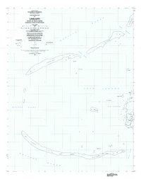
The eastern reaches of Truk Lagoon are defined by the intricate relationship between high volcanic islands and low coral formations in this early 1980s record of the Federated States of Micronesia. The settlement of Unikappi sits on the eastern edge of Faichuk, where a cluster of villages including Woito, Nepuachechen, and Onanei line the coast. These communities are situated along narrow landmasses separated from the open Pacific Ocean by extensive Coral Reef systems and named water passages like Mochun Winipiru. Further offshore, isolated settlements such as Onamue and Atonap sit within the lagoon, while the long arc of Ochonap and Fanufon form protective barriers. This survey provides a precise look at the traditional island geography and settlement patterns before modern development altered the remote maritime landscape.
Find a feature on this map
38 named features on this map. Tap any name to fly to it.
Don’t see what you’re looking for? This feature index may not catch every label — zoom into the map to look around manually.
Map Details
Editions of this 1983 Unikappi Map
This is the sole edition of this map. No revisions or reprints were ever made.