2022 Map of Uniondale
USGS Topo · Published 2022About this map
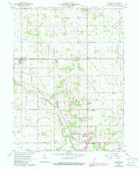
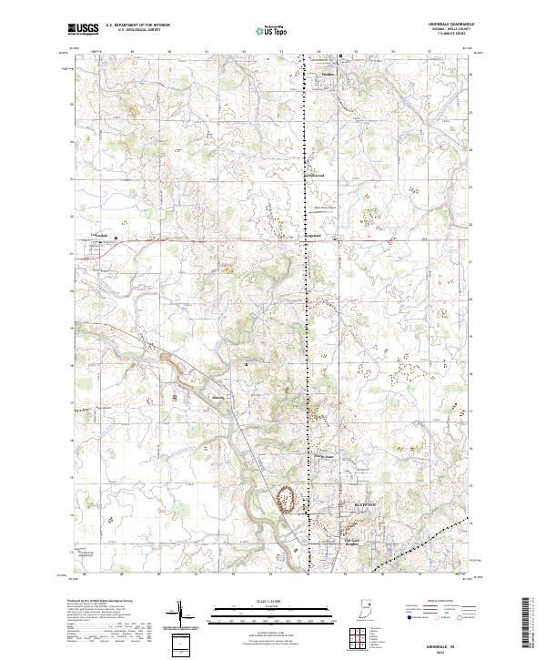
The Wabash River snakes through the southern portion of this Wells County landscape, anchoring the historical development of settlements like Murray and the outskirts of Bluffton. Further north, the town of Uniondale sits near the intersection of the local grid and regional drainage features like Griffin Ditch. The area's agricultural and rural character is defined by an extensive network of drainage systems, including Eightmile Creek and the Eightmile Number Two Ditch, which support the fertile plains between Ossian and Kingsland. Genealogy researchers can identify local burial sites such as Oak Lawn Cemetery and Murray Cemetery, while aviation history is marked by small rural landing strips like Skip's Place Airport and Mayer Airport. The transition from town centers to established neighborhoods is evident at Toll Gate Heights and North Oaks, reflecting the modern expansion of these historic Indiana communities.
Find a feature on this map
76 named features on this map. Tap any name to fly to it.
Don’t see what you’re looking for? This feature index may not catch every label — zoom into the map to look around manually.
Map Details
Editions of this 2022 Uniondale Map
This is the sole edition of this map. No revisions or reprints were ever made.