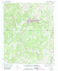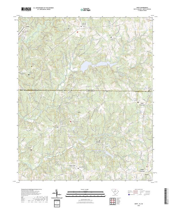
2024 Map of Unity
USGS Topo · Published 2024About this map
The North Carolina South Carolina border defines the character of this landscape, where rural communities like Unity and Sapps Crossroads anchor a region steeped in local genealogy. The area is exceptionally dense with burial grounds, including the Walkersville Presbyterian Church Cem and the Silver Run Church Graveyard, reflecting generations of family history along the state line. Aviation is a distinct theme here, with Jaars and the JAARS- Townsend Airport in the north, complemented by the Hawks Meadow Airport and Unity Aerodrome. The terrain is drained by numerous branches like Booger Branch and Unity Branch, while the Cane Cr Watershed Site Seven and Cane Cr Watershed Site 16 indicate modern land management and water conservation efforts in the Union and Lancaster county area.
Find a feature on this map
161 named features on this map. Tap any name to fly to it.
Don’t see what you’re looking for? This feature index may not catch every label — zoom into the map to look around manually.
Map Details
Editions of this 2024 Unity Map
This is the sole edition of this map. No revisions or reprints were ever made.