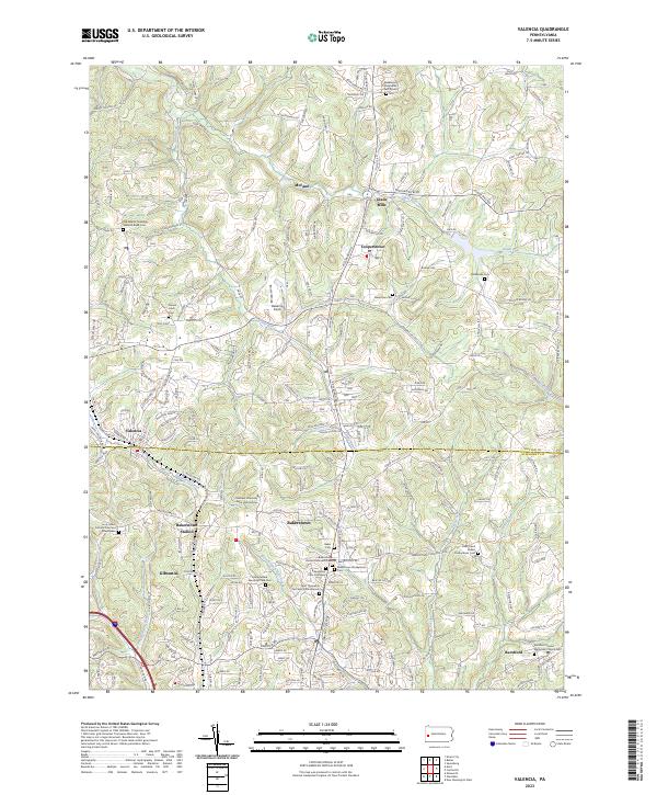
2023 Map of Valencia
USGS Topo · Published 2023About this map
The boundary between Butler Co and Allegheny Co cuts through this landscape of the northern Pittsburgh suburbs, where historic hamlets and modern developments converge. The survey highlights several established residential centers, including Valencia, Bakerstown, and Gibsonia, alongside the agricultural and academic footprint of the Chatham University Eden Hall Campus. The terrain is defined by the winding paths of Glade Run and Breakneck Creek, which carve through the hills north of the Allegheny line.
Find a feature on this map
174 named features on this map. Tap any name to fly to it.
Don’t see what you’re looking for? This feature index may not catch every label — zoom into the map to look around manually.
Map Details
Editions of this 2023 Valencia Map
This is the sole edition of this map. No revisions or reprints were ever made.
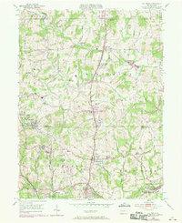
Historical Maps of Adams Township Through Time
Featured Locations
- Valencia, PA
- Adams Township, PA
- Clinton Township, PA
- Jefferson Township, PA
- Bairdford, West Deer Township