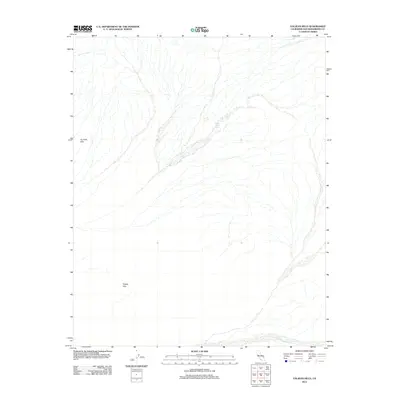
2012 Map of Valjean Hills
USGS Topo · Published 2012About this map
Rabbit Holes Spring serves as a critical water source in this arid section of San Bernardino County, situated among the eastern slopes of the Dumont Hills. The landscape is dominated by the sprawling drainage system of the Kingston Wash, which cuts across the southeastern quadrant of the map. This 2012 survey illustrates the remote desert topography where the Valjean Hills rise from the basin floor. The drainage patterns shown here are essential for understanding the hydrological movement through the Mojave’s alluvial fans and desert washes during infrequent rain events.
Find a feature on this map
4 named features on this map. Tap any name to fly to it.
Don’t see what you’re looking for? This feature index may not catch every label — zoom into the map to look around manually.
Map Details
Editions of this 2012 Valjean Hills Map
This is the sole edition of this map. No revisions or reprints were ever made.
Other maps of this area

1910 · Ivanpah
USGS Topo · 1:250,000

1912 · Ivanpah
USGS Topo · 1:250,000

1933 · Avawatz Mountains
USGS Topo · 1:250,000

1942 · Ivanpah
USGS Topo · 1:250,000

1947 · Trona
USGS Topo · 1:250,000

1947 · Kingman
USGS Topo · 1:250,000

1948 · Kingman
USGS Topo · 1:250,000

1948 · Trona
USGS Topo · 1:250,000

1950 · Tecopa
USGS Topo · 1:62,500

1951 · Tecopa
USGS Topo · 1:62,500