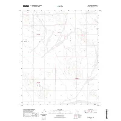
2018 Map of Valjean Hills
USGS Topo · Published 2018About this map
Valjean Hills and the neighboring Dumont Hills define this arid portion of the Mojave Desert in San Bernardino County. The landscape is characterized by its isolation and limited water sources, such as the notably named Rabbit Holes Spring in the northern reaches. This 2018 survey by the U.S. Geological Survey illustrates a region largely defined by its natural topography rather than human development, showcasing the complex drainage patterns of the Kingston Wash that cuts through the southern terrain. This map is an essential reference for understanding the modern physical geography of this remote desert environment.
Find a feature on this map
10 named features on this map. Tap any name to fly to it.
Don’t see what you’re looking for? This feature index may not catch every label — zoom into the map to look around manually.
Map Details
Editions of this 2018 Valjean Hills Map
This is the sole edition of this map. No revisions or reprints were ever made.
Other maps of this area

1910 · Ivanpah
USGS Topo · 1:250,000

1912 · Ivanpah
USGS Topo · 1:250,000

1933 · Avawatz Mountains
USGS Topo · 1:250,000

1942 · Ivanpah
USGS Topo · 1:250,000

1947 · Trona
USGS Topo · 1:250,000

1947 · Kingman
USGS Topo · 1:250,000

1948 · Kingman
USGS Topo · 1:250,000

1948 · Trona
USGS Topo · 1:250,000

1950 · Tecopa
USGS Topo · 1:62,500

1951 · Tecopa
USGS Topo · 1:62,500