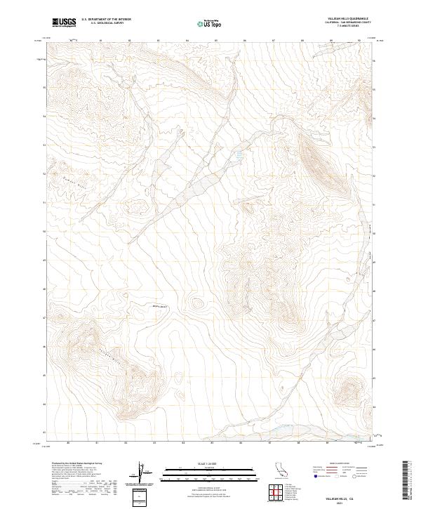
2021 Map of Valjean Hills
USGS Topo · Published 2021About this map
Rabbit Holes Spring serves as a critical water source in the high-elevation basin between two distinct desert ranges. To the northwest, the Dumont Hills rise above the arid flats, while the Valjean Hills occupy the southwestern portion of the map. This terrain is part of the broader Mojave Desert, characterized by complex topography and dry drainages like the Kingston Wash, which cuts across the southern edge of the sheet. The landscape is structured by the Public Land Survey System, with township and range lines like t19n r9e and t18n r8e defining the administrative boundaries of these remote San Bernardino County lands. The lack of established roads or settlements highlights the isolation of this corner of the desert, where seasonal hydrological features and prominent ridges dictate the movement through the environment.
Find a feature on this map
10 named features on this map. Tap any name to fly to it.
Don’t see what you’re looking for? This feature index may not catch every label — zoom into the map to look around manually.
Map Details
Editions of this 2021 Valjean Hills Map
This is the sole edition of this map. No revisions or reprints were ever made.
Other maps of this area

1910 · Ivanpah
USGS Topo · 1:250,000

1912 · Ivanpah
USGS Topo · 1:250,000

1933 · Avawatz Mountains
USGS Topo · 1:250,000

1942 · Ivanpah
USGS Topo · 1:250,000

1947 · Trona
USGS Topo · 1:250,000

1947 · Kingman
USGS Topo · 1:250,000

1948 · Kingman
USGS Topo · 1:250,000

1948 · Trona
USGS Topo · 1:250,000

1950 · Tecopa
USGS Topo · 1:62,500

1951 · Tecopa
USGS Topo · 1:62,500