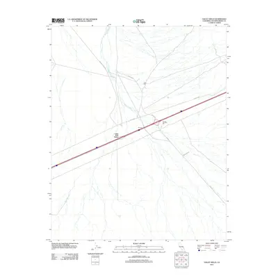
2012 Map of Valley Wells
USGS Topo · Published 2012About this map
Valley Wells and the nearby Valley Wells Station anchor this high-desert landscape in San Bernardino County, where the infrastructure of the Mojave is shaped by historical extraction and water management. The terrain is dominated by the sprawling drainage of the Kingston Wash, which cuts across the central flats. Evidence of the region’s industrial past remains visible through the Evening Star Mine Mill, while the essential necessity of desert survival is represented by the Windmill and Rock Tank. A network of thoroughfares including Kingston Rd, Cima Rd, and Forest Mine Rd provides the primary access through this arid environment, illustrating how modern transit routes often follow the same paths carved by early miners and ranchers seeking water and minerals.
Find a feature on this map
12 named features on this map. Tap any name to fly to it.
Don’t see what you’re looking for? This feature index may not catch every label — zoom into the map to look around manually.
Map Details
Editions of this 2012 Valley Wells Map
This is the sole edition of this map. No revisions or reprints were ever made.
Other maps of this area

1910 · Ivanpah
USGS Topo · 1:250,000

1912 · Ivanpah
USGS Topo · 1:250,000

1942 · Ivanpah
USGS Topo · 1:250,000

1947 · Kingman
USGS Topo · 1:250,000

1948 · Kingman
USGS Topo · 1:250,000

1954 · Kingman
USGS Topo · 1:250,000

1955 · Kingman
USGS Topo · 1:250,000

1955 · Kingston Peak
USGS Topo · 1:62,500

1955 · Mescal Range
USGS Topo · 1:62,500

1956 · Halloran Spring
USGS Topo · 1:62,500