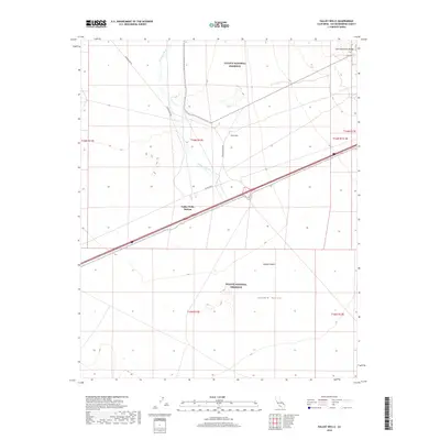
2018 Map of Valley Wells
USGS Topo · Published 2018About this map
Valley Wells Station stands as a primary landmark in this high desert landscape, positioned along the major corridor crossing the southern portion of the map. Much of the surrounding territory is protected within the Mojave National Preserve, showcasing a terrain of ephemeral drainage and significant geological features. The Kingston Wash cuts through the desert floor, reflecting the watershed patterns of the Mojave Desert as it drains towards the northeast. Historic infrastructure is traced through local routes like Excelsior Mine Rd and Shadow Mtn Rd, which provide access to the foothills of the Clark Mountain Range. The map illustrates the sparse but critical settlement nodes and the vast expanses of Shadow Valley, capturing the character of this part of San Bernardino County as it remained in the early twenty-first century.
Find a feature on this map
16 named features on this map. Tap any name to fly to it.
Don’t see what you’re looking for? This feature index may not catch every label — zoom into the map to look around manually.
Map Details
Editions of this 2018 Valley Wells Map
This is the sole edition of this map. No revisions or reprints were ever made.
Other maps of this area

1910 · Ivanpah
USGS Topo · 1:250,000

1912 · Ivanpah
USGS Topo · 1:250,000

1942 · Ivanpah
USGS Topo · 1:250,000

1947 · Kingman
USGS Topo · 1:250,000

1948 · Kingman
USGS Topo · 1:250,000

1954 · Kingman
USGS Topo · 1:250,000

1955 · Kingman
USGS Topo · 1:250,000

1955 · Kingston Peak
USGS Topo · 1:62,500

1955 · Mescal Range
USGS Topo · 1:62,500

1956 · Halloran Spring
USGS Topo · 1:62,500