2021 Map of Valmy
USGS Topo · Published 2021About this map
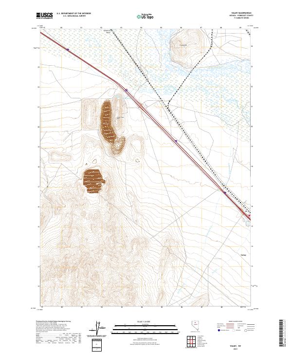
Valmy stands as a primary point of human activity in this high desert landscape, positioned where the modern transit corridor intersects the ancient drainage patterns of the Humboldt River. The topography is defined by the broad Pumpernickel Valley to the north and the prominent rise of Lone Tree Hill, which overlooks a series of important water sources like Stonehouse Spring and Plank Spring. These springs, alongside the winding paths of Herrin Slough and Cottonwood Cr, highlight the critical role of water management in a region where the arid environment meets the infrastructure of the Interstate 80 corridor.
Find a feature on this map
16 named features on this map. Tap any name to fly to it.
Don’t see what you’re looking for? This feature index may not catch every label — zoom into the map to look around manually.
Map Details
Editions of this 2021 Valmy Map
This is the sole edition of this map. No revisions or reprints were ever made.