Loading...
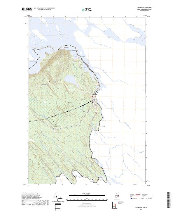
Loading map...2024 Map of Vanceboro
USGS Topo · Published 2024About this map
The Canada United States of America international boundary defines this portion of Washington County, following the winding course of the St. Croix River. At the heart of the map is Vanceboro, a border community situated where the river exits Spednic Lake. The village is anchored by local roads like Church St and High St, while the surrounding landscape is marked by the distinct ridge of The Horseback and the heights of Sussie Hill.
Find a feature on this map
39 named features on this map. Tap any name to fly to it.
Don’t see what you’re looking for? This feature index may not catch every label — zoom into the map to look around manually.
Map Details
Date Portrayed2024
Date Published2024
PublisherU.S. Geological Survey
Map TypeTopographic
Scale1:24000
Physical Dimensions24 x 29 inches
Editions of this 2024 Vanceboro Map
This is the sole edition of this map. No revisions or reprints were ever made.
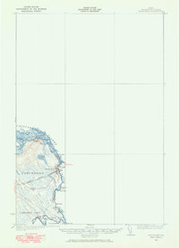
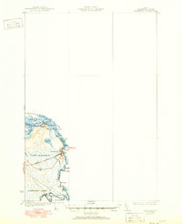
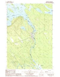
Historical Maps of Vanceboro Through Time
4 maps found
Featured Locations
Source Details
SourceU.S. Geological Survey
CopyrightPublic Domain