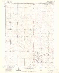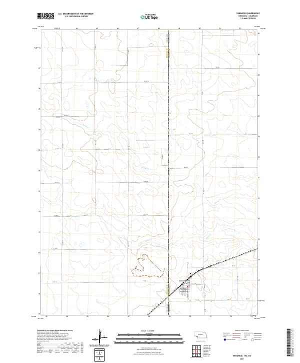
2021 Map of Venango
USGS Topo · Published 2021About this map
Venango serves as the primary hub of activity on this High Plains survey, positioned at the edge of the Colorado Nebraska state line. The town's grid is clearly defined by local thoroughfares such as Washington St, Mercer St, and Pennsylvania Ave. The surrounding landscape of eastern Perkins County is shaped by the subtle drainage of ephemeral waterways, notably Spring Cr and Sand Cr, which cut through a landscape otherwise dominated by section-line roads and agricultural divisions. This survey captures a moment in the modern era where traditional township and range layouts, represented by designations like t10n r42w, remain the bedrock of the local geography. The layout of county roads, including Co Rd 61 and Co Rd 16, underscores the enduring importance of this grid-based transportation network in supporting the region's rural economy.
Find a feature on this map
36 named features on this map. Tap any name to fly to it.
Don’t see what you’re looking for? This feature index may not catch every label — zoom into the map to look around manually.
Map Details
Editions of this 2021 Venango Map
This is the sole edition of this map. No revisions or reprints were ever made.