Loading...
Loading map...2024 Map of Venedy
USGS Topo · Published 2024About this map
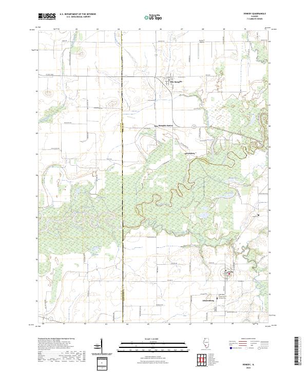
The Kaskaskia River carves a winding path through this region where the borders of St. Clair, Clinton, and Washington counties meet. The landscape is defined by the river’s complex hydrology, featuring numerous oxbow lakes and backwaters such as Swan Lake, Clear Lake, and Muddy Lake. These water bodies are surrounded by expansive wetlands that dictate the local geography, pushing settlements like Venedy and Johannissburg to slightly higher ground.
Find a feature on this map
64 named features on this map. Tap any name to fly to it.
Don’t see what you’re looking for? This feature index may not catch every label — zoom into the map to look around manually.
Map Details
Date Portrayed2024
Date Published2024
PublisherU.S. Geological Survey
Map TypeTopographic
Scale1:24000
Physical Dimensions24 x 29 inches
Editions of this 2024 Venedy Map
This is the sole edition of this map. No revisions or reprints were ever made.
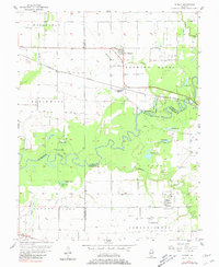
Historical Maps of Clinton County Through Time
Featured Locations
Source Details
SourceU.S. Geological Survey
CopyrightPublic Domain