Loading...
Loading map...2024 Map of Vergennes
USGS Topo · Published 2024About this map
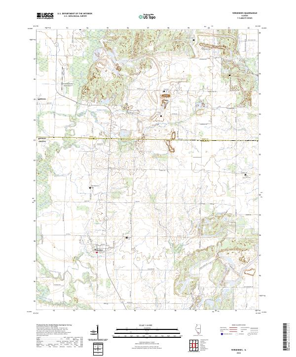
Vergennes serves as the primary hub of this southern Illinois landscape, where the confluence of several prominent waterways such as Beaucoup Creek, Youngs Creek, and Walkers Creek defines the local topography. This modern survey illustrates a deeply rooted rural community characterized by its many family and denominational burial grounds, including the Old Vergennes Cem and the notable Russian Orthodox Cem.
Find a feature on this map
75 named features on this map. Tap any name to fly to it.
Don’t see what you’re looking for? This feature index may not catch every label — zoom into the map to look around manually.
Map Details
Date Portrayed2024
Date Published2024
PublisherU.S. Geological Survey
Map TypeTopographic
Scale1:24000
Physical Dimensions24 x 29 inches
Editions of this 2024 Vergennes Map
This is the sole edition of this map. No revisions or reprints were ever made.
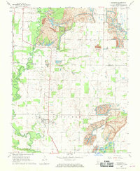
Historical Maps of Grubbs Through Time
Featured Locations
Source Details
SourceU.S. Geological Survey
CopyrightPublic Domain