Loading...
Loading map...2022 Map of Victoria
USGS Topo · Published 2022About this map
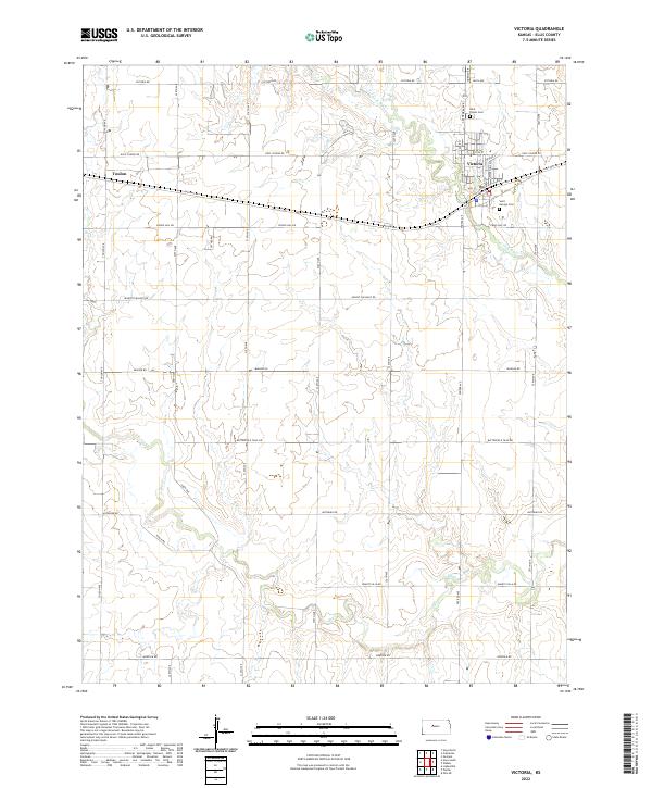
Victoria serves as the primary hub of this landscape, situated along the corridor of Old Hwy 40 and N Fork Big Cr. The town's layout is meticulously detailed, showing the street grid from Main St to Cathedral Ave, and providing vital locations for genealogists such as Saint Fidelis Cem and Saint George Cem. To the west lies the smaller settlement of Toulon, connected by the regional road network that defines this part of Ellis County.
Find a feature on this map
40 named features on this map. Tap any name to fly to it.
Don’t see what you’re looking for? This feature index may not catch every label — zoom into the map to look around manually.
Map Details
Date Portrayed2022
Date Published2022
PublisherU.S. Geological Survey
Map TypeTopographic
Scale1:24000
Physical Dimensions24 x 29 inches
Editions of this 2022 Victoria Map
This is the sole edition of this map. No revisions or reprints were ever made.
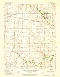
Historical Maps of Victoria Through Time
Featured Locations
Source Details
SourceU.S. Geological Survey
CopyrightPublic Domain