Loading...
Loading map...2023 Map of Virgin
USGS Topo · Published 2023About this map
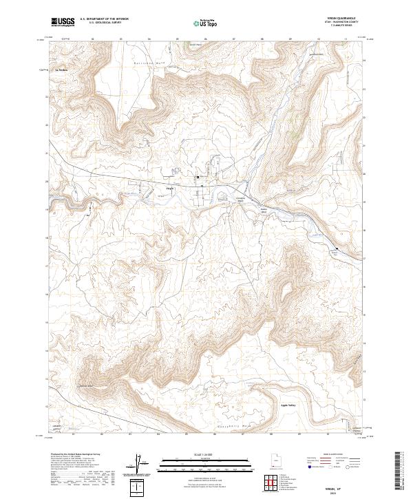
The Virgin River carves a deep path through this Southwestern landscape, anchored by the settlement of Virgin. The town sits at the confluence of the river and North Creek, serving as a central hub for the surrounding plateau country. Local history is preserved at the Virgin Cem and the more remote Duncan's Retreat Cem to the southeast, marking early Mormon pioneer presence in the valley.
Find a feature on this map
37 named features on this map. Tap any name to fly to it.
Don’t see what you’re looking for? This feature index may not catch every label — zoom into the map to look around manually.
Map Details
Date Portrayed2023
Date Published2023
PublisherU.S. Geological Survey
Map TypeTopographic
Scale1:24000
Physical Dimensions24 x 29 inches
Editions of this 2023 Virgin Map
This is the sole edition of this map. No revisions or reprints were ever made.
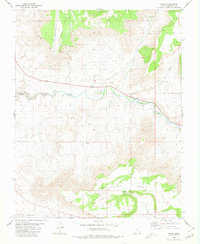
Historical Maps of Virgin Through Time
Featured Locations
Source Details
SourceU.S. Geological Survey
CopyrightPublic Domain