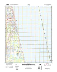
2013 Map of Virginia Beach
USGS Topo · Published 2013About this map
Linkhorn Park and the neighborhood of Seatack anchor this coastal survey, showing the residential and recreational development of the Virginia shore in the early 21st century. The landscape is defined by the transition from the Atlantic Ocean into a complex network of coastal lakes and marshy inlets, including Lake Holly, Lake Rudee, and the navigational passage at Rudee Inlet. These water bodies create distinct natural boundaries for communities like Rudee Heights and Lake View.
Find a feature on this map
99 named features on this map. Tap any name to fly to it.
Don’t see what you’re looking for? This feature index may not catch every label — zoom into the map to look around manually.
Map Details
Editions of this 2013 Virginia Beach Map
This is the sole edition of this map. No revisions or reprints were ever made.
Other maps of this area

1893 · Virginia Beach
USGS Topo · 1:125,000

1907 · Norfolk
USGS Topo · 1:125,000

1916 · Back Bay
USGS Topo · 1:62,500

1918 · Cape Henry
USGS Topo · 1:62,500

1919 · Cape Henry
USGS Topo · 1:62,500

1939 · Moyock
USGS Topo · 1:62,500

1943 · Back Bay
USGS Topo · 1:62,500

1946 · Moyock
USGS Topo · 1:62,500

1946 · Eastville
USGS Topo · 1:250,000

1946 · Currituck Sound
USGS Topo · 1:250,000