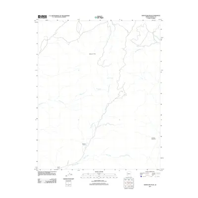
2011 Map of Wabayuma Peak
USGS Topo · Published 2011About this map
Wabayuma Peak anchors this high-elevation landscape in the western reaches of the Hualapai Mountains. The geography is defined by a dense network of seasonal drainages and springs that have long dictated the presence of human activity in this arid region of Mohave County. Mackenzie Creek and Willow Creek carve deep through the terrain, with the notable Boriana Canyon providing a dramatic geological break in the central portion of the sheet.
Find a feature on this map
14 named features on this map. Tap any name to fly to it.
Don’t see what you’re looking for? This feature index may not catch every label — zoom into the map to look around manually.
Map Details
Editions of this 2011 Wabayuma Peak Map
This is the sole edition of this map. No revisions or reprints were ever made.
Other maps of this area

1886 · Diamond Creek
USGS Topo · 1:250,000

1886 · Camp Mohave
USGS Topo · 1:250,000

1892 · Diamond Creek
USGS Topo · 1:250,000

1892 · Camp Mohave
USGS Topo · 1:250,000

1923 · Signal
USGS Topo · 1:250,000

1927 · Yucca
USGS Topo · 1:62,500

1929 · Yucca
USGS Topo · 1:62,500

1942 · Camp Mohave
USGS Topo · 1:250,000

1942 · Signal
USGS Topo · 1:250,000

1947 · Kingman
USGS Topo · 1:250,000