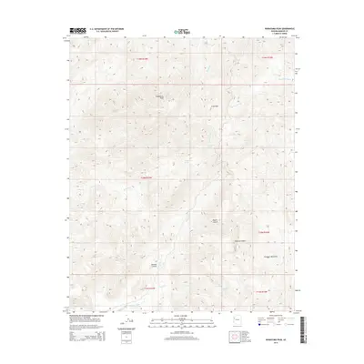
2014 Map of Wabayuma Peak
USGS Topo · Published 2014About this map
Wabayuma Peak anchors this high-elevation desert landscape within the western edge of the Hualapai Mountains. The terrain is defined by a complex network of seasonal drainages and canyons, including the prominent Boriana Canyon and Hibernia Canyon, which cut through the arid eastern reaches of the Mojave Desert. These geological features suggest a history of ephemeral water management in a demanding environment, where life centered around vital water sources such as Grapevine Spring, Cottonwood Spring, and Bee Springs.
Find a feature on this map
21 named features on this map. Tap any name to fly to it.
Don’t see what you’re looking for? This feature index may not catch every label — zoom into the map to look around manually.
Map Details
Editions of this 2014 Wabayuma Peak Map
This is the sole edition of this map. No revisions or reprints were ever made.
Other maps of this area

1886 · Diamond Creek
USGS Topo · 1:250,000

1886 · Camp Mohave
USGS Topo · 1:250,000

1892 · Diamond Creek
USGS Topo · 1:250,000

1892 · Camp Mohave
USGS Topo · 1:250,000

1923 · Signal
USGS Topo · 1:250,000

1927 · Yucca
USGS Topo · 1:62,500

1929 · Yucca
USGS Topo · 1:62,500

1942 · Camp Mohave
USGS Topo · 1:250,000

1942 · Signal
USGS Topo · 1:250,000

1947 · Kingman
USGS Topo · 1:250,000