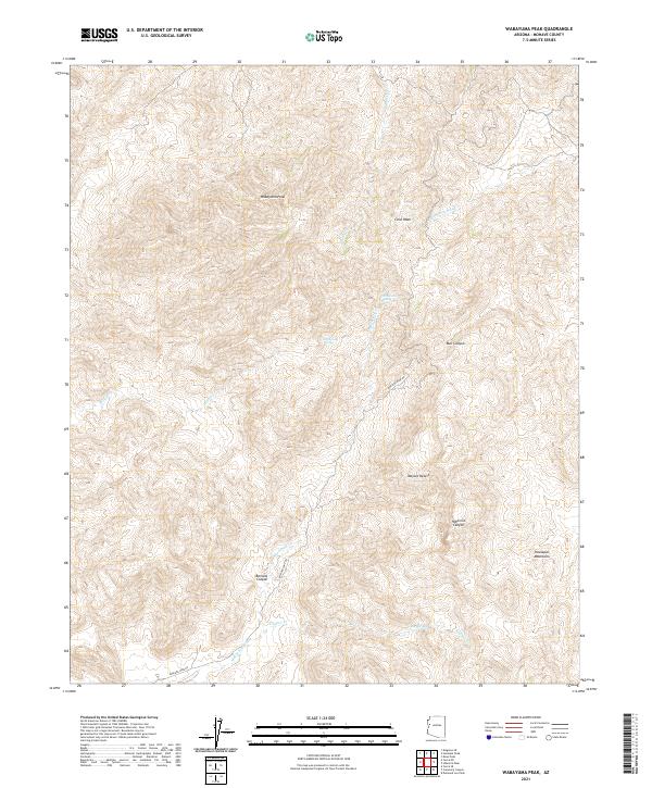
2021 Map of Wabayuma Peak
USGS Topo · Published 2021About this map
Wabayuma Peak anchors the high terrain of the southern Hualapai Mountains in Mohave County, where the desert landscape is defined by deep drainages and isolated water sources. This 2021 survey documents the complex system of canyons and washes that carve through the Mojave Desert, including Bull Canyon, Hibernia Canyon, and Boriana Canyon. These features indicate a rugged environment where water management and accessibility were historically critical for mining and ranching.
Find a feature on this map
23 named features on this map. Tap any name to fly to it.
Don’t see what you’re looking for? This feature index may not catch every label — zoom into the map to look around manually.
Map Details
Editions of this 2021 Wabayuma Peak Map
This is the sole edition of this map. No revisions or reprints were ever made.
Other maps of this area

1886 · Diamond Creek
USGS Topo · 1:250,000

1886 · Camp Mohave
USGS Topo · 1:250,000

1892 · Diamond Creek
USGS Topo · 1:250,000

1892 · Camp Mohave
USGS Topo · 1:250,000

1923 · Signal
USGS Topo · 1:250,000

1927 · Yucca
USGS Topo · 1:62,500

1929 · Yucca
USGS Topo · 1:62,500

1942 · Camp Mohave
USGS Topo · 1:250,000

1942 · Signal
USGS Topo · 1:250,000

1947 · Kingman
USGS Topo · 1:250,000