
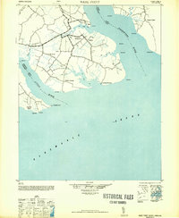
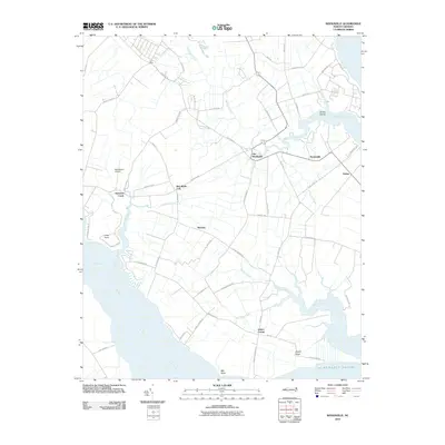
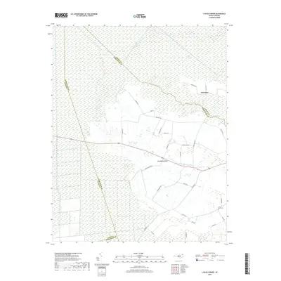
1940 Map of Wade Point
USGS Topo · Published 1973About this map
The Pasquotank River and the Little River converge toward the wide expanse of the Albemarle Sound in this tidewater survey compiled from 1940 aerial photography. The peninsula between these major waterways is defined by a dendritic network of coastal inlets, including New Begun Creek, Big Flatty Creek, and Symonds Creek. Inland, the landscape transition from the marshy fingers of the sound to an established agricultural and military presence is evident.
Find a feature on this map
37 named features on this map. Tap any name to fly to it.
Don’t see what you’re looking for? This feature index may not catch every label — zoom into the map to look around manually.
Map Details
Editions of this 1940 Wade Point Map
This is the sole edition of this map. No revisions or reprints were ever made.
Historical Maps of Symonds Creek Through Time
23 maps found
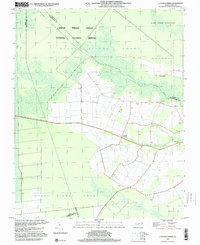
1940 Wade Point
Pasquotank County, NC

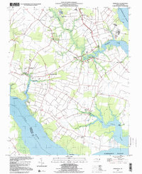
1943 Wade Point
Pasquotank County, NC
1948 Wade Point
Pasquotank County, NC
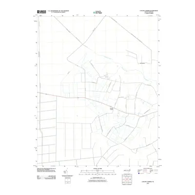
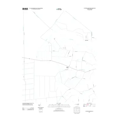
1982 Lynchs Corner
Pasquotank County, NC
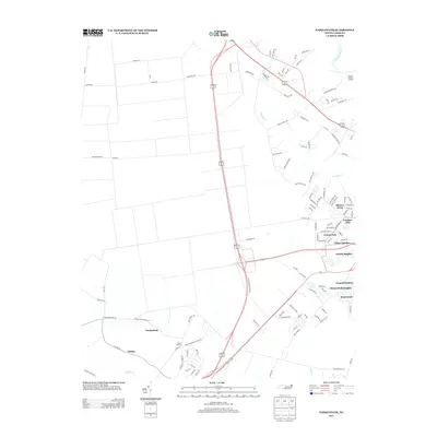
1982 Pasquotank
Pasquotank County, NC
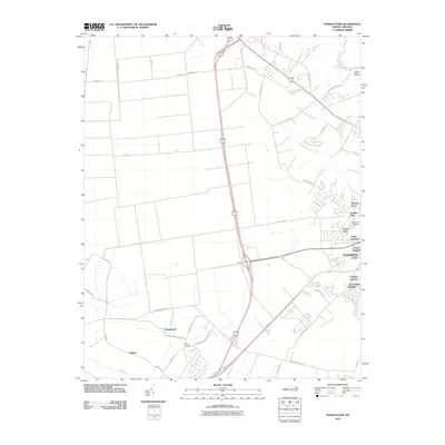
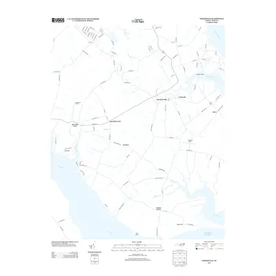
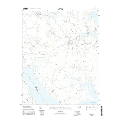
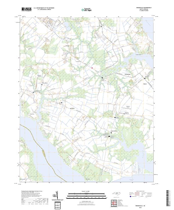
1982 Weeksville
Pasquotank County, NC
1997 Lynchs Corner
Pasquotank County, NC
1997 Weeksville
Pasquotank County, NC
2010 Lynchs Corner
Pasquotank County, NC
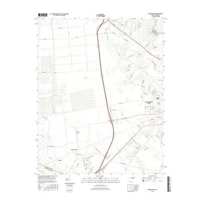
2010 Pasquotank
Pasquotank County, NC
2010 Weeksville
Pasquotank County, NC
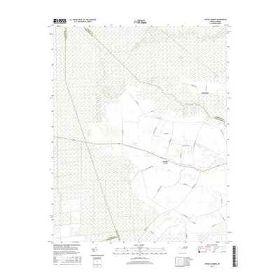
2013 Lynchs Corner
Pasquotank County, NC
2013 Pasquotank
Pasquotank County, NC
2013 Weeksville
Pasquotank County, NC
2016 Lynchs Corner
Pasquotank County, NC
2016 Pasquotank
Pasquotank County, NC
2016 Weeksville
Pasquotank County, NC
2019 Lynchs Corner
Pasquotank County, NC
2019 Pasquotank
Pasquotank County, NC
2019 Weeksville
Pasquotank County, NC
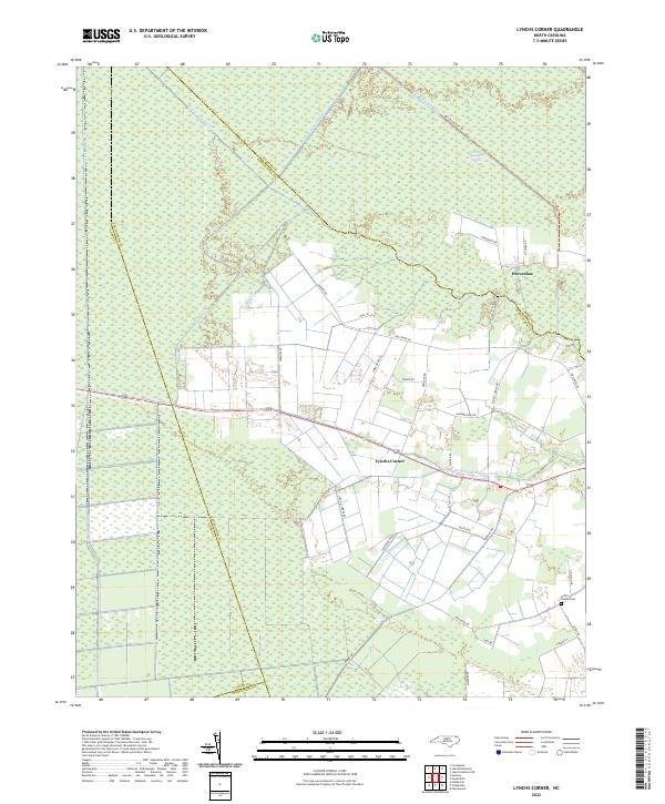
2022 Lynchs Corner
Pasquotank County, NC
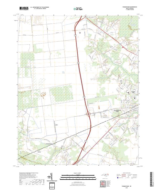
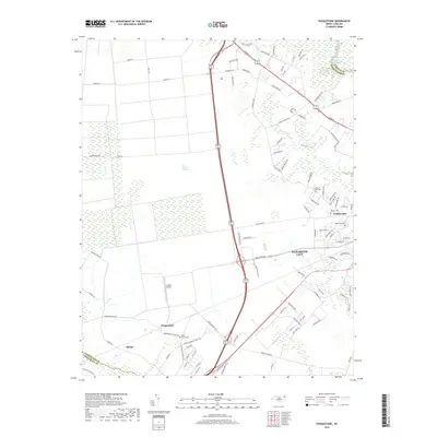
2022 Pasquotank
Pasquotank County, NC
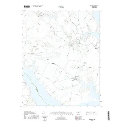
2022 Weeksville
Pasquotank County, NC