
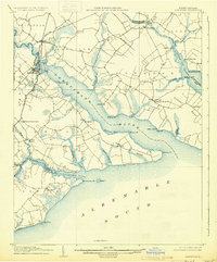
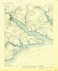
1906 Map of Hertford
USGS Topo · Published 1906About this map
The Tidewater region of North Carolina at the turn of the century is defined here by the wide, branching estuaries of the Perquimans River, Little River, and Yeopim River as they feed into the Albemarle Sound. The town of Hertford serves as a primary hub, situated where the Norfolk and Southern RR crosses the Perquimans. This era shows a landscape deeply tied to water-based commerce and travel, evidenced by numerous landings and points such as Newby Landing, Redbank Ldg, and Ferry Pt.
Find a feature on this map
62 named features on this map. Tap any name to fly to it.
Don’t see what you’re looking for? This feature index may not catch every label — zoom into the map to look around manually.
Map Details
Editions of this 1906 Hertford Map
3 editions found
Other maps of this area

1904 · Edenton
USGS Topo · 1:62,500

1906 · Beckford
USGS Topo · 1:48,000

1907 · Beckford
USGS Topo · 1:62,500

1940 · Hertford
USGS Topo · 1:62,500

1940 · Beckford
USGS Topo · 1:62,500

1940 · Wade Point
USGS Topo · 1:62,500

1940 · South Mills
USGS Topo · 1:62,500

1942 · Edenton
USGS Topo · 1:62,500

1943 · Wade Point
USGS Topo · 1:62,500

1943 · Columbia
USGS Topo · 1:125,000