
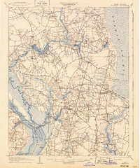
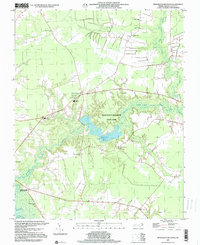
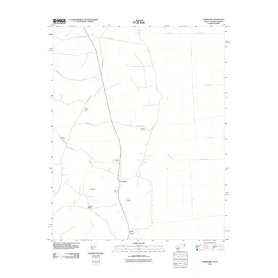
1906 Map of Beckford
USGS Topo · Published 1906About this map
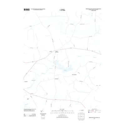
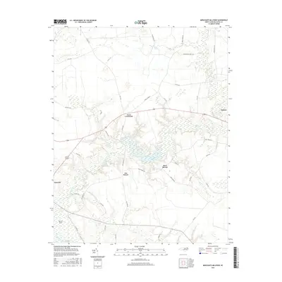
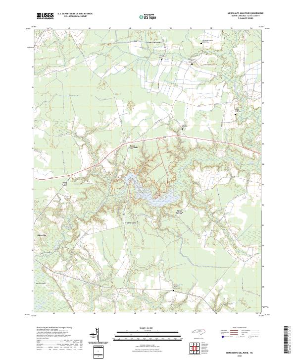
Merchants Mill Pond and the surrounding swamps of Haslett and Holly Grove define the landscape of this coastal plain region during the first decade of the twentieth century. The intricate waterways of Bennetts Creek and Catherine Creek are shown in meticulous detail, featuring numerous small wharves and landings like Taylor Wharf and Dinkerderry Landing that supported the local timber and agricultural trades before the dominance of modern highways.
Find a feature on this map
84 named features on this map. Tap any name to fly to it.
Don’t see what you’re looking for? This feature index may not catch every label — zoom into the map to look around manually.
Map Details
Editions of this 1906 Beckford Map
This is the sole edition of this map. No revisions or reprints were ever made.
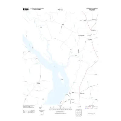
Historical Maps of Sunbury Through Time
28 maps found
1906 Beckford
Gates County, NC
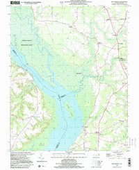
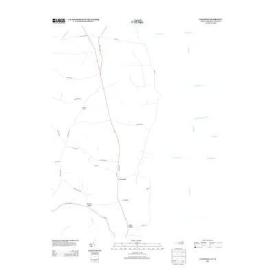
1907 Beckford
Gates County, NC

1940 Beckford
Gates County, NC
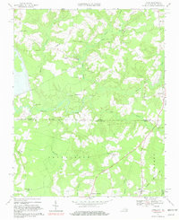
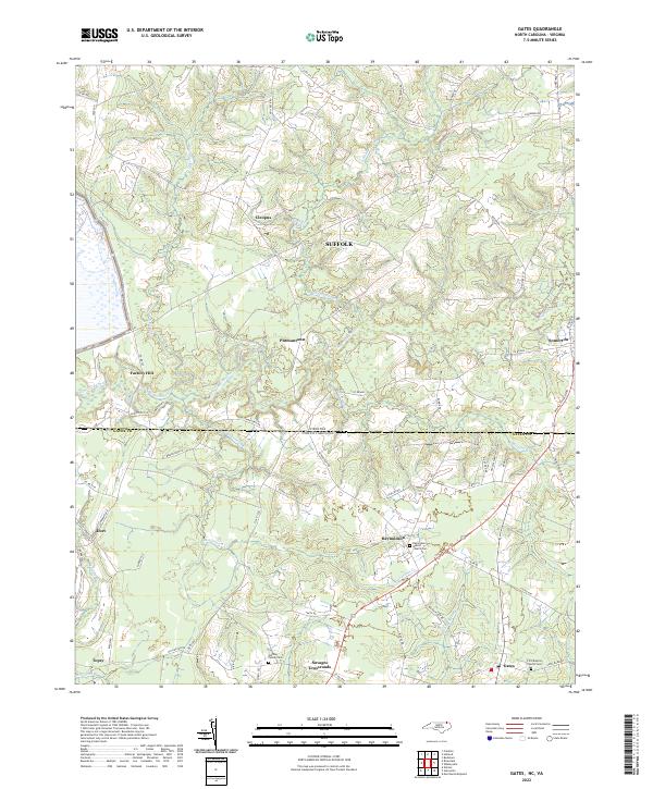
1967 Gates
Gates County, NC
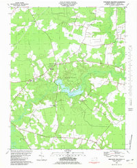
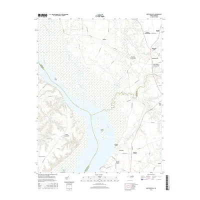
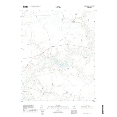
1981 Merchants Millpond
Gates County, NC
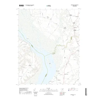
1982 Mintonsville
Gates County, NC
1997 Merchants Millpond
Gates County, NC
1997 Mintonsville
Gates County, NC
2010 Gates
Gates County, NC
2010 Mintonsville
Gates County, NC
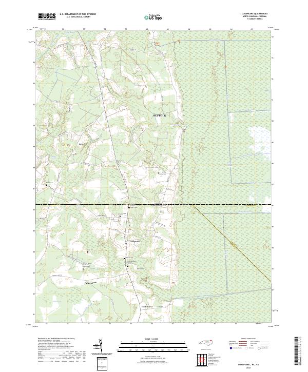
2011 Corapeake
Gates County, NC
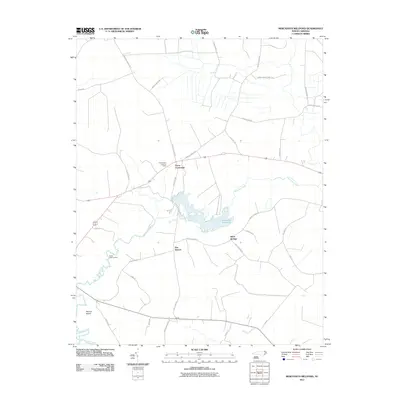
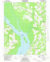
2011 Merchants Millpond
Gates County, NC
2013 Corapeake
Gates County, NC
2013 Gates
Gates County, NC
2013 Merchants Millpond
Gates County, NC
2013 Mintonsville
Gates County, NC
2016 Corapeake
Gates County, NC
2016 Gates
Gates County, NC
2016 Merchants Millpond
Gates County, NC
2016 Mintonsville
Gates County, NC
2019 Corapeake
Gates County, NC
2019 Gates
Gates County, NC
2019 Merchants Millpond
Gates County, NC
2019 Mintonsville
Gates County, NC
2022 Corapeake
Gates County, NC
2022 Gates
Gates County, NC
2022 Merchants Millpond
Gates County, NC
2022 Mintonsville
Gates County, NC