
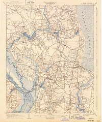
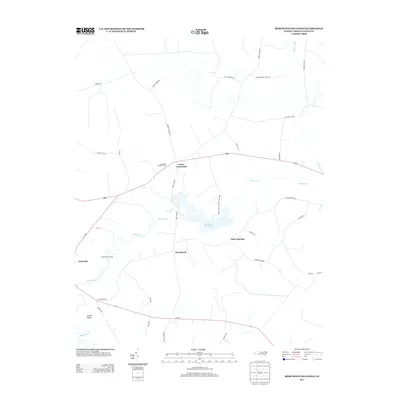
1907 Map of Beckford
USGS Topo · Published 1907About this map
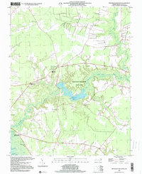
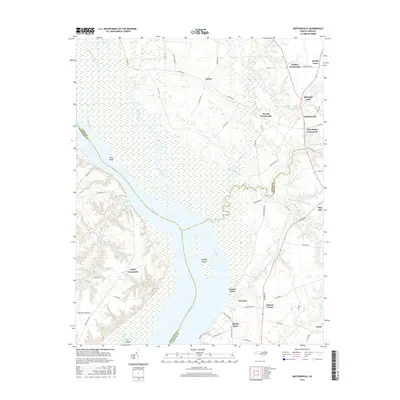
Chowan River and the sprawling Dismal Swamp define the eastern and western boundaries of this landscape at the onset of the twentieth century. The interior is a complex network of wetlands and agricultural settlements, where life centered on the local millponds and river landings. Features like Merchants Millpond and Hunters Millpond provided essential industry, while steam navigation facilitated trade along the river at Mt Pleasant Whf and Taylor Whf.
Find a feature on this map
108 named features on this map. Tap any name to fly to it.
Don’t see what you’re looking for? This feature index may not catch every label — zoom into the map to look around manually.
Map Details
Editions of this 1907 Beckford Map
2 editions found
Historical Maps of Sunbury Through Time
28 maps found

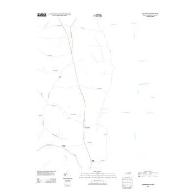
1906 Beckford
Gates County, NC
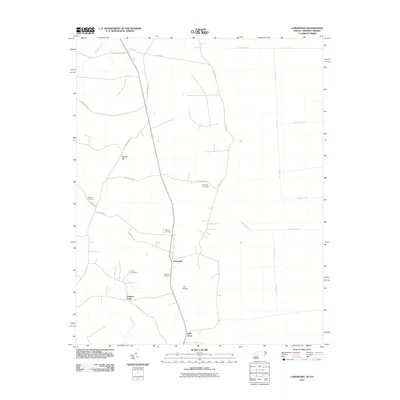
1907 Beckford
Gates County, NC

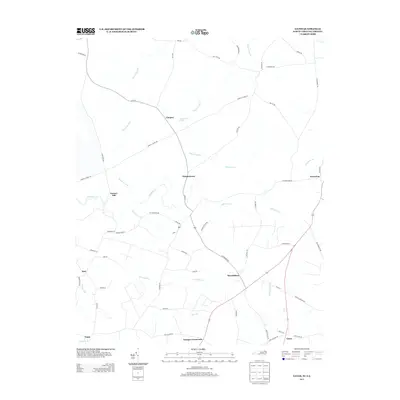
1940 Beckford
Gates County, NC
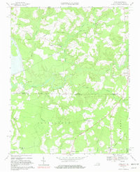
1967 Gates
Gates County, NC
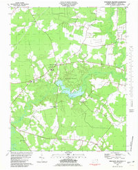
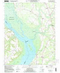
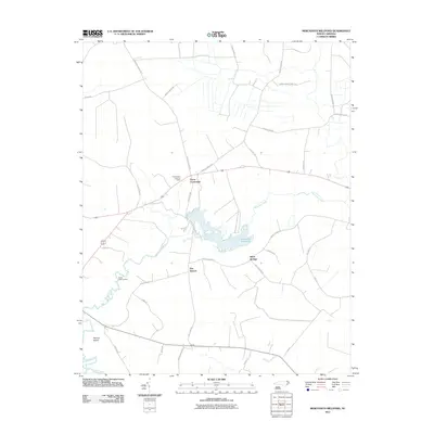
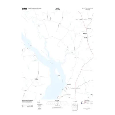
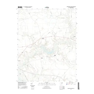
1981 Merchants Millpond
Gates County, NC
1982 Mintonsville
Gates County, NC
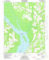
1997 Merchants Millpond
Gates County, NC
1997 Mintonsville
Gates County, NC
2010 Gates
Gates County, NC
2010 Mintonsville
Gates County, NC
2011 Corapeake
Gates County, NC
2011 Merchants Millpond
Gates County, NC
2013 Corapeake
Gates County, NC
2013 Gates
Gates County, NC
2013 Merchants Millpond
Gates County, NC
2013 Mintonsville
Gates County, NC
2016 Corapeake
Gates County, NC
2016 Gates
Gates County, NC
2016 Merchants Millpond
Gates County, NC
2016 Mintonsville
Gates County, NC
2019 Corapeake
Gates County, NC
2019 Gates
Gates County, NC
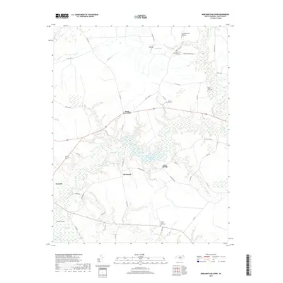
2019 Merchants Millpond
Gates County, NC
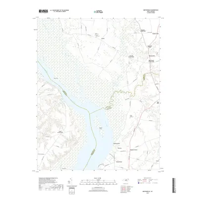
2019 Mintonsville
Gates County, NC
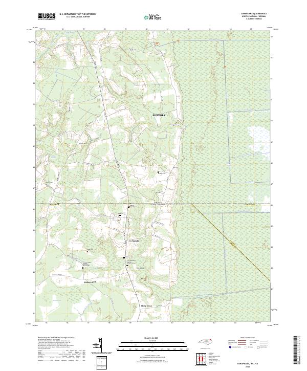
2022 Corapeake
Gates County, NC
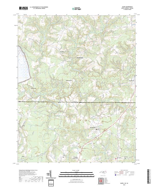
2022 Gates
Gates County, NC
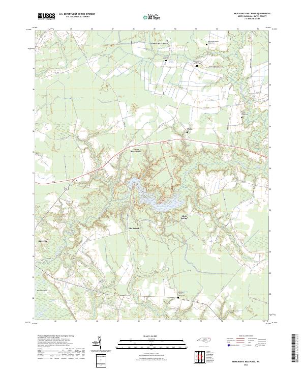
2022 Merchants Millpond
Gates County, NC
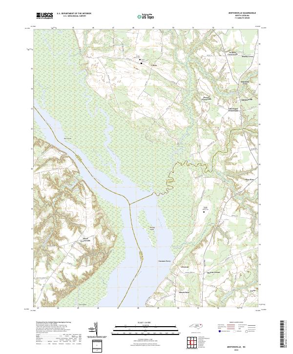
2022 Mintonsville
Gates County, NC