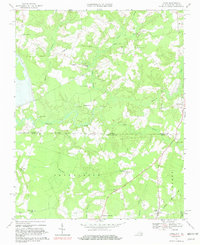
1967 Map of Gates
USGS Topo · Published 1981About this map
Somerton Creek and Beaverdam Creek wind through the borderlands of North Carolina and Virginia in this mid-century landscape. The area is defined by a series of significant wetlands, including Mill Swamp, Chapel Swamp, and Hackley Swamp, which separate the small crossroads communities and rural homesteads. The Seaboard Coast Line railroad cuts through the southern portion of the map, serving the community of Gates, while local landmarks like Holy Neck Ch and Olive Branch Ch anchor the surrounding countryside.
Find a feature on this map
31 named features on this map. Tap any name to fly to it.
Don’t see what you’re looking for? This feature index may not catch every label — zoom into the map to look around manually.
Map Details
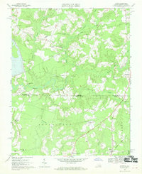
Editions of this 1967 Gates Map
2 editions found
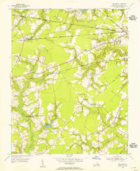
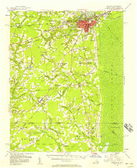
Other maps of this area

1906 · Beckford
USGS Topo · 1:48,000

1907 · Beckford
USGS Topo · 1:62,500

1908 · Winton
USGS Topo · 1:62,500

1919 · Suffolk
USGS Topo · 1:62,500

1920 · Holland
USGS Topo · 1:62,500

1940 · Beckford
USGS Topo · 1:62,500

1943 · Holland
USGS Topo · 1:62,500

1953 · Norfolk
USGS Topo · 1:250,000
1954 · Buckhorn
USGS Topo · 1:24,000
1954 · Suffolk
USGS Topo · 1:62,500