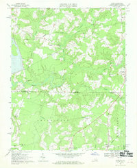
1967 Map of Gates
USGS Topo · Published 1970About this map
The Virginia North Carolina border bisects this landscape of lowland swamps and scattered rural communities in the mid-1960s. Small hamlets like Pittmantown, Savages Crossroads, and Reynoldson appear as hubs for the surrounding agricultural and timber lands, connected by a network of roads that wind around extensive wetlands such as Marsh Swamp and Chapel Swamp. The transition from Nansemond County, Virginia, to Gates County, North Carolina, is marked by the Seaboard Coast Line railroad, which cuts a sharp diagonal through the terrain, serving the village of Gates.
Find a feature on this map
30 named features on this map. Tap any name to fly to it.
Don’t see what you’re looking for? This feature index may not catch every label — zoom into the map to look around manually.
Map Details
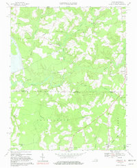
Editions of this 1967 Gates Map
2 editions found
Other maps of this area

1906 · Beckford
USGS Topo · 1:48,000

1907 · Beckford
USGS Topo · 1:62,500

1908 · Winton
USGS Topo · 1:62,500

1919 · Suffolk
USGS Topo · 1:62,500

1920 · Holland
USGS Topo · 1:62,500

1940 · Beckford
USGS Topo · 1:62,500

1943 · Holland
USGS Topo · 1:62,500

1953 · Norfolk
USGS Topo · 1:250,000
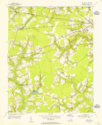
1954 · Buckhorn
USGS Topo · 1:24,000
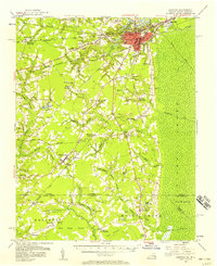
1954 · Suffolk
USGS Topo · 1:62,500