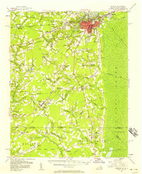
1954 Map of Suffolk
USGS Topo · Published 1958About this map
The city of Suffolk serves as a dense industrial and transit hub in this mid-century survey, where the Nansemond River meets a complex web of railroads including the Norfolk and Western and the Seaboard Air Line. To the south and west, the landscape transitions into the blackwater environments of the Great Dismal Swamp and its tributaries, defined by the Jericho Canal and Washington Ditch.
Find a feature on this map
79 named features on this map. Tap any name to fly to it.
Don’t see what you’re looking for? This feature index may not catch every label — zoom into the map to look around manually.
Map Details
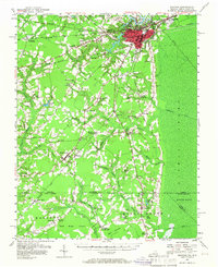
Editions of this 1954 Suffolk Map
2 editions found
Other maps of this area

1906 · Beckford
USGS Topo · 1:48,000

1907 · Norfolk
USGS Topo · 1:125,000

1907 · Beckford
USGS Topo · 1:62,500

1908 · Winton
USGS Topo · 1:62,500

1919 · Smithfield
USGS Topo · 1:62,500

1919 · Suffolk
USGS Topo · 1:62,500

1920 · Holland
USGS Topo · 1:62,500

1920 · Ivor
USGS Topo · 1:62,500

1921 · Newport News
USGS Topo · 1:62,500

1940 · Beckford
USGS Topo · 1:62,500