
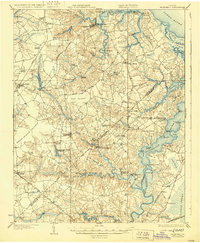
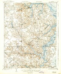
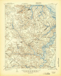
1919 Map of Smithfield
USGS Topo · Published 1919About this map
The Tidewater region of Virginia, as surveyed just after the Great War, reveals a landscape defined by its intricate waterways and early rail networks. Smithfield serves as a central hub near the confluence of Pagan Creek and the James River, where a steamboat route still connected these coastal communities to the wider world. The map illustrates a transitional period for commerce, showing numerous river landings such as Whitley Wharf and Nix Wharf alongside emerging overland corridors like the Norfolk Road.
Find a feature on this map
64 named features on this map. Tap any name to fly to it.
Don’t see what you’re looking for? This feature index may not catch every label — zoom into the map to look around manually.
Map Details
Editions of this 1919 Smithfield Map
4 editions found
Other maps of this area

1907 · Norfolk
USGS Topo · 1:125,000

1907 · Yorktown
USGS Topo · 1:62,500

1907 · Hampton
USGS Topo · 1:62,500

1919 · Suffolk
USGS Topo · 1:62,500

1919 · Surry
USGS Topo · 1:62,500

1920 · Holland
USGS Topo · 1:62,500

1920 · Ivor
USGS Topo · 1:62,500

1921 · Newport News
USGS Topo · 1:62,500

1940 · Lake Drummond
USGS Topo · 1:62,500

1943 · Holland
USGS Topo · 1:62,500