
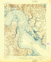
1907 Map of Yorktown
USGS Topo · Published 1907About this map
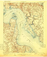
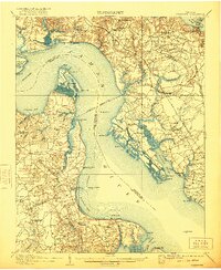
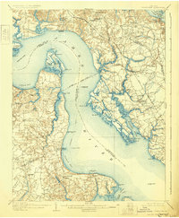
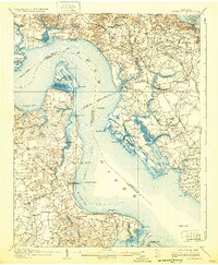
Jamestown Island and the military defenses of the Peninsula define this 1907 survey of the Virginia Tidewater. The landscape is heavily marked by the region's long history, from the Old Fort and Monument at Yorktown to the numerous earthworks and old earthworks scattered across the terrain. Military remnants like Fort Crawford (Ruins) on Mulberry Island and Fort Boykin (Ruins) near Shoal Bay indicate the strategic importance of the James River and York River waterways. The settlement pattern is largely rural, clustered around points like Lee Hall, Bacons Castle, and the Warwick Courthouse. Navigation is central to the local economy, evidenced by several steamship routes and landings such as Fergussons Wharf, Mackimmie Wharf (Old), and Rocks Wharf (Old), which served as vital connections before modern road networks dominated the Peninsula.
Find a feature on this map
83 named features on this map. Tap any name to fly to it.
Don’t see what you’re looking for? This feature index may not catch every label — zoom into the map to look around manually.
Map Details
Editions of this 1907 Yorktown Map
6 editions found
Other maps of this area

1906 · Williamsburg
USGS Topo · 1:62,500

1907 · Norfolk
USGS Topo · 1:125,000

1907 · Hampton
USGS Topo · 1:62,500

1916 · Mathews
USGS Topo · 1:62,500

1917 · Mathews
USGS Topo · 1:62,500

1917 · Toano
USGS Topo · 1:62,500

1918 · Toano
USGS Topo · 1:62,500

1919 · Smithfield
USGS Topo · 1:62,500

1919 · Surry
USGS Topo · 1:62,500

1920 · Ivor
USGS Topo · 1:62,500