Loading...
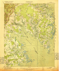
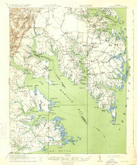
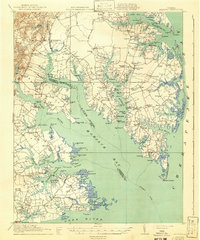
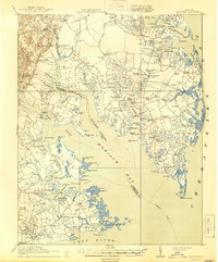
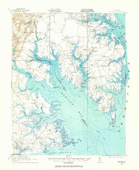
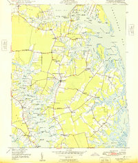
Loading map...1917 Map of Mathews
USGS Topo · Published 1917About this map
Fort Nonsense (Ruins) stands as a landmark of nineteenth-century military history on this peninsula landscape during the World War I era. The map reveals a society deeply tied to the water, where the Mobjack Bay and the York River define the local economy and geography. Steamboat routes are clearly marked, connecting Callis Wharf and Wharf Lane School to broader Chesapeake trade.
Find a feature on this map
115 named features on this map. Tap any name to fly to it.
Don’t see what you’re looking for? This feature index may not catch every label — zoom into the map to look around manually.
Map Details
Date Portrayed1917
Date Published1917
PublisherU.S. Geological Survey
Map TypeTopographic
Scale1:62,500
Physical Dimensions16.4 x 19.7 inches
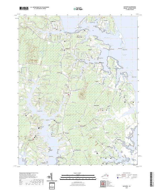
Editions of this 1917 Mathews Map
7 editions found
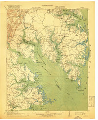
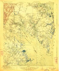
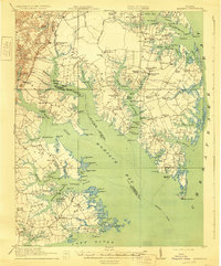
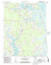
Historical Maps of Gloucester Point Through Time
5 maps found
Featured Locations
Source Details
SourceU.S. Geological Survey
CopyrightPublic Domain