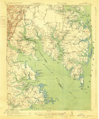
1917 Map of Mathews
USGS Topo · Published 1930About this map
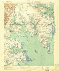
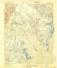
Mobjack Bay and the complex tidal estuaries of the Middle Peninsula define this 1916 coastal survey. The landscape is characterized by a maritime economy reliant on the water, evidenced by the numerous landing points such as Roanes Wharf, Williams Wharf, and Callis Wharf that dot the shorelines of the North River and East River. This era shows the region before modern bridge infrastructure dominated, where the steamboat route remained a vital link for the scattered communities of Mathews and Gloucester County.
Find a feature on this map
138 named features on this map. Tap any name to fly to it.
Don’t see what you’re looking for? This feature index may not catch every label — zoom into the map to look around manually.
Map Details
Editions of this 1917 Mathews Map
7 editions found
Other maps of this area

1906 · Williamsburg
USGS Topo · 1:62,500

1907 · Yorktown
USGS Topo · 1:62,500

1907 · Hampton
USGS Topo · 1:62,500

1916 · Kilmarnock
USGS Topo · 1:48,000

1916 · Mathews
USGS Topo · 1:62,500

1917 · Urbanna
USGS Topo · 1:62,500

1917 · Kilmarnock
USGS Topo · 1:62,500

1917 · Mathews
USGS Topo · 1:62,500

1942 · Kilmarnock
USGS Topo · 1:62,500

1943 · Yorktown
USGS Topo · 1:62,500