
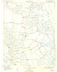
1948 Map of Mathews
USGS Topo · Published 1948About this map
Mathews serves as the central hub of this coastal Virginia landscape, where the peninsula’s intricate network of creeks and necks defines local life in the late 1940s. The map illustrates a maritime economy anchored by numerous landing points like Callis Wharf, Hicks Wharf, and Williams Wharf, which facilitated trade and travel across Milford Haven and the Chesapeake Bay.
Find a feature on this map
92 named features on this map. Tap any name to fly to it.
Don’t see what you’re looking for? This feature index may not catch every label — zoom into the map to look around manually.
Map Details
Editions of this 1948 Mathews Map
2 editions found
Other maps of this area

1916 · Kilmarnock
USGS Topo · 1:48,000

1916 · Mathews
USGS Topo · 1:62,500

1917 · Kilmarnock
USGS Topo · 1:62,500

1917 · Mathews
USGS Topo · 1:62,500

1942 · Kilmarnock
USGS Topo · 1:62,500

1943 · Richmond
USGS Topo · 1:250,000

1948 · Ware Neck
USGS Topo · 1:24,000

1948 · Achilles
USGS Topo · 1:24,000

1948 · Deltaville
USGS Topo · 1:24,000

1948 · New Point Comfort
USGS Topo · 1:24,000