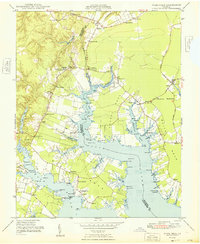
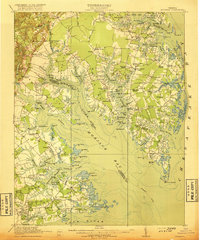
1948 Map of Ware Neck
USGS Topo · Published 1948About this map
The Tidewater shoreline of Gloucester and Mathews Counties is defined by the intricate finger-like extensions of White Neck, Chapel Neck, and Ware Neck. Following the end of the Second World War, this coastal landscape remained deeply rooted in a maritime and agricultural economy, where water access was as vital as the road network. Historically significant landmarks such as Fort Nonsense and specialized navigational aids like the Baileys Wharf Beacon and Ocradle Point Lt underscore the importance of the North River and Ware River for local transit. The map documents numerous small settlements and post offices, including Dixondale, Zanoni, and Schley, each supported by central community institutions like Singleton Ch and Holly Grove Ch. Extensive wharves, such as Auburn Wharf, served as the primary hubs for regional trade before modern highway infrastructure fully superseded the river-and-bay ferry system.
Find a feature on this map
64 named features on this map. Tap any name to fly to it.
Don’t see what you’re looking for? This feature index may not catch every label — zoom into the map to look around manually.
Map Details
Editions of this 1948 Ware Neck Map
This is the sole edition of this map. No revisions or reprints were ever made.
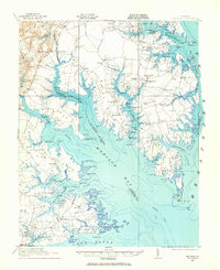
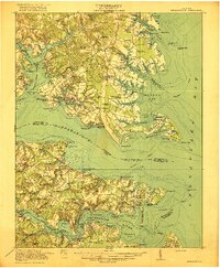
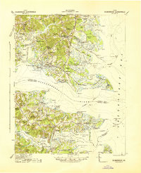
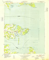
Other maps of this area

1906 · Williamsburg
USGS Topo · 1:62,500
1916 · Kilmarnock
USGS Topo · 1:48,000
1916 · Mathews
USGS Topo · 1:62,500

1917 · Urbanna
USGS Topo · 1:62,500
1917 · Kilmarnock
USGS Topo · 1:62,500
1917 · Mathews
USGS Topo · 1:62,500
1942 · Kilmarnock
USGS Topo · 1:62,500

1943 · Richmond
USGS Topo · 1:250,000

1948 · Achilles
USGS Topo · 1:24,000
1948 · Deltaville
USGS Topo · 1:24,000