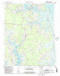
1965 Map of Mathews
USGS Topo · Published 1987About this map
Mathews stands at the center of this coastal Virginia landscape, where the intricate shoreline of the Chesapeake Bay meets a network of tidal creeks and necks. This mid-1960s survey, updated with 1980s bathymetry, illustrates a maritime economy transitioning into the modern era. The presence of Williams Wharf on the East River and numerous public landings along Milford Haven and Stutts Creek highlight the historical reliance on water transport. Inland, the community identity is defined by landmarks like the Mathews Raceway and a series of rural crossroads such as Miles Store, Hudgins, and Bohannon. Smaller settlements and schools like Lee-Jackson Sch and Hueter Sch are scattered across the peninsulas of Crab Neck and Lilleys Neck, providing a detailed view of the county's social geography before significant modern development altered these traditional neighborhoods.
Find a feature on this map
82 named features on this map. Tap any name to fly to it.
Don’t see what you’re looking for? This feature index may not catch every label — zoom into the map to look around manually.
Map Details
Editions of this 1965 Mathews Map
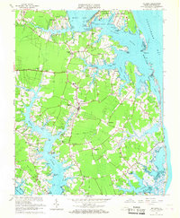
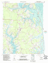
3 editions found
Other maps of this area

1916 · Kilmarnock
USGS Topo · 1:48,000

1916 · Mathews
USGS Topo · 1:62,500

1917 · Kilmarnock
USGS Topo · 1:62,500

1917 · Mathews
USGS Topo · 1:62,500

1942 · Kilmarnock
USGS Topo · 1:62,500

1943 · Richmond
USGS Topo · 1:250,000

1948 · Ware Neck
USGS Topo · 1:24,000

1948 · Achilles
USGS Topo · 1:24,000

1948 · Deltaville
USGS Topo · 1:24,000

1948 · New Point Comfort
USGS Topo · 1:24,000