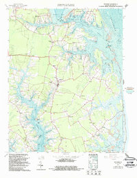
1965 Map of Mathews
USGS Topo · Published 1987About this map
The East River and North River define the intricate shoreline of this Virginia coastal region, where dozens of peninsulas like Cow Neck and Potato Neck reach into the Chesapeake Bay. The village of Mathews serves as the central hub, surrounded by a dense network of smaller landings and crossroads settlements including Bohannon, Hudgins, and Moon. This survey reveals the maritime dependency of the mid-1960s, documenting numerous points of water access such as Williams Wharf and Town Point Landing. Local social life is anchored by a significant concentration of community landmarks, from the Mathews Raceway to historic houses of worship like Westville Ch and Christ Ch. The map also details the narrow navigable channels of The Narrows and the aptly named The Hole in the Wall passage, which provided critical transit for local watermen between Hills Bay and the open bay.
Find a feature on this map
83 named features on this map. Tap any name to fly to it.
Don’t see what you’re looking for? This feature index may not catch every label — zoom into the map to look around manually.
Map Details
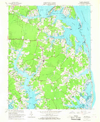
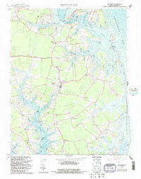
Editions of this 1965 Mathews Map
3 editions found
Other maps of this area

1916 · Kilmarnock
USGS Topo · 1:48,000

1916 · Mathews
USGS Topo · 1:62,500

1917 · Kilmarnock
USGS Topo · 1:62,500

1917 · Mathews
USGS Topo · 1:62,500

1942 · Kilmarnock
USGS Topo · 1:62,500

1943 · Richmond
USGS Topo · 1:250,000

1948 · Ware Neck
USGS Topo · 1:24,000

1948 · Achilles
USGS Topo · 1:24,000

1948 · Deltaville
USGS Topo · 1:24,000

1948 · New Point Comfort
USGS Topo · 1:24,000