
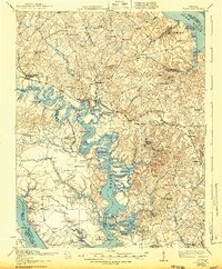
1917 Map of Toano
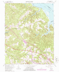
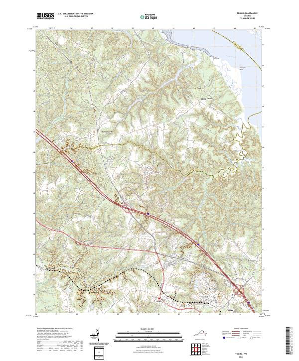
USGS Topo · Published 1959About this map
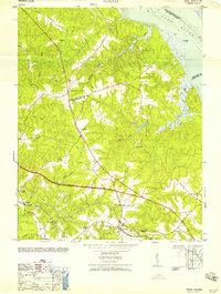
The Chickahominy River winds through a landscape of intricate tidal marshes and neck lands, including Big Neck and Bush Neck. In this era of river and rail transport, the Chesapeake and Ohio railroad corridor serves inland settlements like Toano and Norge, while the waterways remain vital for commerce at Cypress Bank Landing and Shipyard Landing. The region's social geography is anchored by numerous small community institutions such as Hickory Neck Church and St Johns Church.
Find a feature on this map
89 named features on this map. Tap any name to fly to it.
Don’t see what you’re looking for? This feature index may not catch every label — zoom into the map to look around manually.
Map Details
Editions of this 1917 Toano Map
This is the sole edition of this map. No revisions or reprints were ever made.
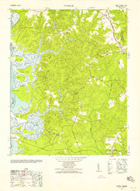
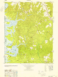
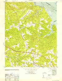
Historical Maps of Lanexa Through Time
20 maps found
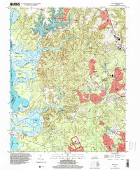
1917 Toano
James City County, VA
1918 Toano
James City County, VA

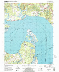
1950 Cobham Bay
James City County, VA
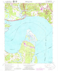
1952 Norge
James City County, VA
1953 Norge
James City County, VA
1953 Toano
James City County, VA
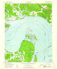
1957 Cobham Bay
James City County, VA
1958 Toano
James City County, VA
1965 Hog Island
James City County, VA
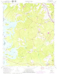
1965 Norge
James City County, VA
1965 Toano
James City County, VA
1973 Toano
James City County, VA

1978 Norge
James City County, VA
1984 Hog Island
James City County, VA
1984 Norge
James City County, VA
1994 Norge
James City County, VA
1999 Hog Island
James City County, VA
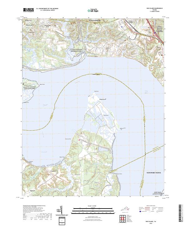
2022 Hog Island
James City County, VA
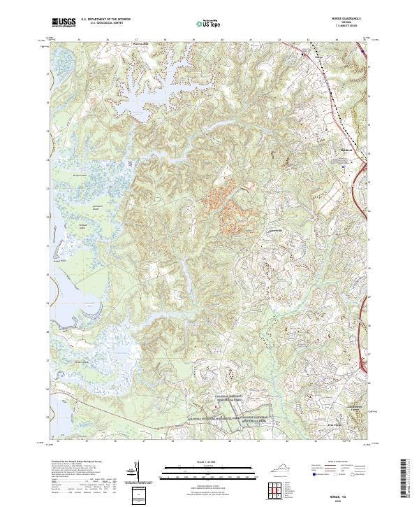
2022 Norge
James City County, VA
2022 Toano
James City County, VA