
1918 Map of Charles City
USGS Topo · Published 1918About this map
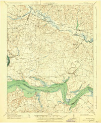
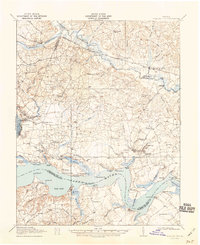
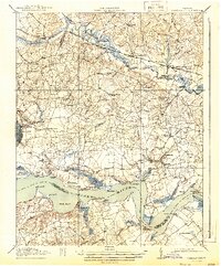
The James River and Chickahominy River define this 1918 portrait of Tidewater Virginia, where maritime commerce and agricultural history intersect at prominent landings and wharves. Along the riverbanks, established estates and hubs like Berkeley, Westover, and Upper Brandon represent centuries of settlement, supported by a network of river access points including Harrisons Landing and Stanley Wharf. Inland, the landscape is dotted with early 20th-century rural infrastructure, including numerous schools such as the Samaria Indian School and Greenward School.
Find a feature on this map
89 named features on this map. Tap any name to fly to it.
Don’t see what you’re looking for? This feature index may not catch every label — zoom into the map to look around manually.
Map Details
Editions of this 1918 Charles City Map
4 editions found
Other maps of this area

1894 · Bermuda Hundred
USGS Topo · 1:62,500

1894 · Petersburg
USGS Topo · 1:62,500

1894 · Richmond
USGS Topo · 1:62,500

1895 · Richmond
USGS Topo · 1:62,500

1917 · Toano
USGS Topo · 1:62,500

1918 · Toano
USGS Topo · 1:62,500

1919 · Surry
USGS Topo · 1:62,500

1919 · Disputanta
USGS Topo · 1:62,500

1919 · New Kent
USGS Topo · 1:62,500

1920 · King William
USGS Topo · 1:62,500