
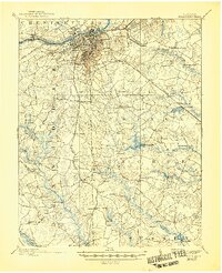
1894 Map of Petersburg
USGS Topo · Published 1894About this map
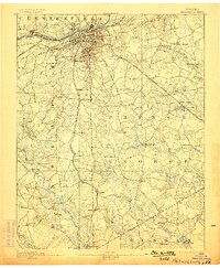
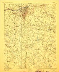
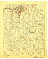
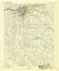
Petersburg and the surrounding riverfront communities of Blandford, Pocahontas, and Ettricks dominate the upper portion of this survey, illustrating the urban and industrial hub of the Appomattox River in the late nineteenth century. The map provides significant topographical detail of the regional landscape, including the historic site of the Crater and the nearby National Cemetery. To the south and east, the landscape is defined by vast swamp networks such as Blackwater Swamp and Rowanty Creek, which are interspersed with numerous family-named landmarks and rural outposts. Local infrastructure is heavily tied to the railroad and mill economy, evidenced by several water-powered sites like Rowland's Mill and Smith's Mill. The extensive rail network, including the Atlantic Coast Line Railroad and the Norfolk and Western Railroad, connects distant crossings and stores such as Youngblood's Store and Browning's Store, reflecting the era's transport-driven settlement patterns.
Find a feature on this map
72 named features on this map. Tap any name to fly to it.
Don’t see what you’re looking for? This feature index may not catch every label — zoom into the map to look around manually.
Map Details
Editions of this 1894 Petersburg Map
6 editions found
Other maps of this area

1894 · Bermuda Hundred
USGS Topo · 1:62,500

1897 · Amelia
USGS Topo · 1:125,000

1918 · Charles City
USGS Topo · 1:62,500

1919 · Jarratt
USGS Topo · 1:62,500

1919 · Mc Kenney
USGS Topo · 1:48,000

1919 · Disputanta
USGS Topo · 1:62,500

1919 · Homeville
USGS Topo · 1:48,000

1920 · Homeville
USGS Topo · 1:62,500

1921 · Mc Kenney
USGS Topo · 1:62,500

1943 · Littleton
USGS Topo · 1:31,680