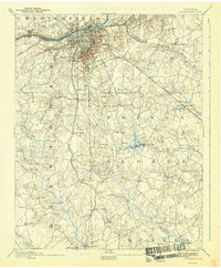
1894 Map of Petersburg
USGS Topo · Published 1942About this map
The Appomattox River serves as the focal point for this late nineteenth-century landscape, where industrial infrastructure meets the lingering scars of the Civil War. Just south of the river and the urban centers of Blandford and Pocahontas, the map identifies The Crater, a site of significant military history. The surrounding countryside is defined by a dense network of water-powered industry and rural social hubs, including Smiths Mill and Rowland's Mill, alongside community anchors like Gary Church and the Almshouse.
Find a feature on this map
67 named features on this map. Tap any name to fly to it.
Don’t see what you’re looking for? This feature index may not catch every label — zoom into the map to look around manually.
Map Details
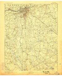
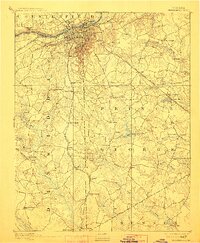
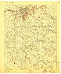
Editions of this 1894 Petersburg Map
6 editions found

Other maps of this area

1894 · Bermuda Hundred
USGS Topo · 1:62,500

1894 · Petersburg
USGS Topo · 1:62,500

1897 · Amelia
USGS Topo · 1:125,000

1918 · Charles City
USGS Topo · 1:62,500

1919 · Jarratt
USGS Topo · 1:62,500

1919 · Mc Kenney
USGS Topo · 1:48,000

1919 · Disputanta
USGS Topo · 1:62,500

1919 · Homeville
USGS Topo · 1:48,000

1920 · Homeville
USGS Topo · 1:62,500

1921 · Mc Kenney
USGS Topo · 1:62,500