Loading...
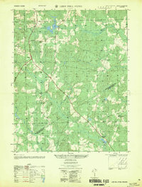
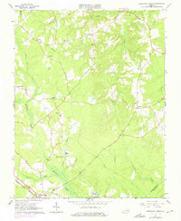
Loading map...1956 Map of Lees Mill Pond
USGS Topo · Published 1956About this map
Lees Mill Pond and the surrounding wetlands of Warwick Swamp define this mid-century landscape along the border of Prince George and Sussex counties. The area is characterized by a network of drainage systems including Joseph Swamp, Jones Hole Swamp, and Goose Swamp, which influenced the placement of early rural infrastructure. The crossroads at Templeton serves as a local hub, supporting the Templeton School and nearby congregations like Providence Church.
Find a feature on this map
24 named features on this map. Tap any name to fly to it.
Don’t see what you’re looking for? This feature index may not catch every label — zoom into the map to look around manually.
Map Details
Date Portrayed1956
Date Published1956
PublisherU.S. Geological Survey
Map TypeTopographic
Scale1:25,000
Physical Dimensions21.9 x 28.9 inches
Editions of this 1956 Lees Mill Pond Map
This is the sole edition of this map. No revisions or reprints were ever made.
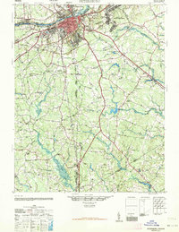
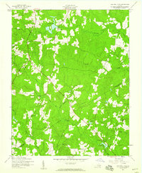
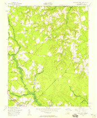
Historical Maps of Templeton Through Time
7 maps found

Featured Locations
Source Details
SourceU.S. Geological Survey
CopyrightPublic Domain