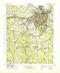
1944 Map of Petersburg
USGS Topo · Published 1944About this map
The Appomattox River serves as the focal point for this wartime survey, anchoring the industrial and civic center of Petersburg and its surrounding communities. The map captures the city during the 1940s, highlighting the dense rail network formed by the Norfolk and Western, Seaboard Coast Line, and Atlantic Coast Line. Beyond the urban core, the landscape is defined by its deep historical scars, specifically at The Crater and the broader Petersburg National Military Park.
Find a feature on this map
44 named features on this map. Tap any name to fly to it.
Don’t see what you’re looking for? This feature index may not catch every label — zoom into the map to look around manually.
Map Details
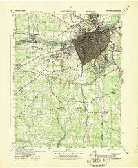
Editions of this 1944 Petersburg Map
2 editions found
Other maps of this area

1894 · Bermuda Hundred
USGS Topo · 1:62,500

1894 · Petersburg
USGS Topo · 1:62,500

1897 · Amelia
USGS Topo · 1:125,000

1943 · Hopewell
USGS Topo · 1:31,680

1943 · Dinwiddie
USGS Topo · 1:24,000

1943 · Beach
USGS Topo · 1:24,000

1943 · Sutherland
USGS Topo · 1:24,000

1943 · Richmond
USGS Topo · 1:250,000
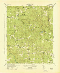
1944 · Beach
USGS Topo · 1:31,680

1944 · Reams
USGS Topo · 1:31,680