
1943 Map of Hopewell
USGS Topo · Published 1943About this map
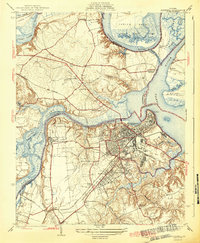
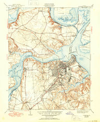
The industrial and riverfront landscape of Hopewell centers this 1940s survey at the confluence of the James River and the Appomattox River. The street grids of City Point, Highland Park, and Arlington show the mid-century development of the city, while the surrounding Chesterfield and Prince George counties retain their rural character through small crossroads like Screamersville and Five Forks. Significant institutions mark the terrain, including the sprawling Camp Lee at the southern edge and the Federal Reformatory near the Appomattox.
Find a feature on this map
52 named features on this map. Tap any name to fly to it.
Don’t see what you’re looking for? This feature index may not catch every label — zoom into the map to look around manually.
Map Details
Editions of this 1943 Hopewell Map
3 editions found
Other maps of this area

1894 · Bermuda Hundred
USGS Topo · 1:62,500

1894 · Petersburg
USGS Topo · 1:62,500

1918 · Charles City
USGS Topo · 1:62,500

1919 · Disputanta
USGS Topo · 1:62,500

1938 · Dutch Gap
USGS Topo · 1:24,000

1938 · Drewrys Bluff
USGS Topo · 1:24,000

1943 · Dutch Gap
USGS Topo · 1:31,680

1943 · Disputanta
USGS Topo · 1:31,680

1943 · Richmond
USGS Topo · 1:250,000
1944 · Chester
USGS Topo · 1:31,680