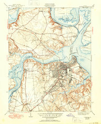
1943 Map of Hopewell
USGS Topo · Published 1950About this map
The confluence of the James River and Appomattox River anchors this 1940 survey, centering on the industrial and strategic importance of Hopewell and the ancient river port of City Point. The map details a complex landscape of tidal waterways and neck lands, including the serpentine path of the Turkey Island Cutoff and the sprawling Curles Neck. The inland areas show a mix of established community life and military-institutional footprints, from the extensive grounds of Camp Lee and the Federal Reformatory to rural landmarks like Walthall Mill.
Find a feature on this map
58 named features on this map. Tap any name to fly to it.
Don’t see what you’re looking for? This feature index may not catch every label — zoom into the map to look around manually.
Map Details
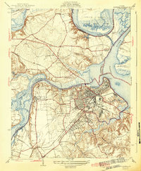
Editions of this 1943 Hopewell Map
3 editions found
Other maps of this area

1894 · Bermuda Hundred
USGS Topo · 1:62,500

1894 · Petersburg
USGS Topo · 1:62,500

1918 · Charles City
USGS Topo · 1:62,500

1919 · Disputanta
USGS Topo · 1:62,500

1938 · Dutch Gap
USGS Topo · 1:24,000

1938 · Drewrys Bluff
USGS Topo · 1:24,000

1943 · Dutch Gap
USGS Topo · 1:31,680

1943 · Hopewell
USGS Topo · 1:31,680

1943 · Disputanta
USGS Topo · 1:31,680

1943 · Richmond
USGS Topo · 1:250,000