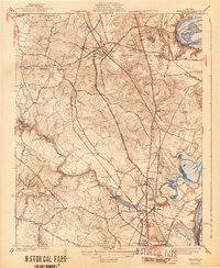
1944 Map of Chester
USGS Topo · Published 1944About this map
Chester serves as a central hub in this mid-century survey, where the Atlantic Coast Line and Seaboard Air Line railroads converge amidst a landscape defined by plantation-era naming and early aviation infrastructure. The presence of an Airway Beacon near Redwater Lake signals the modernization of the corridor between Richmond and Petersburg. To the south, the village of Colonial Heights is anchored by the winding course of Swift Creek, while the eastern boundary is shaped by the dramatic bend of the James River (Old Channel) around Farrar Island. Rural life is meticulously documented through numerous country churches and schools, such as Zion Ch and Centralia Sch, along with small communities like Pickadat Corner and Walthall. The map reveals a transition from traditional tobacco-country roads like Woodpecker Road to the major thoroughfare of the Jefferson Davis Highway.
Find a feature on this map
49 named features on this map. Tap any name to fly to it.
Don’t see what you’re looking for? This feature index may not catch every label — zoom into the map to look around manually.
Map Details
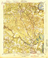
Editions of this 1944 Chester Map
2 editions found
Other maps of this area

1894 · Bermuda Hundred
USGS Topo · 1:62,500

1894 · Petersburg
USGS Topo · 1:62,500

1897 · Amelia
USGS Topo · 1:125,000

1938 · Dutch Gap
USGS Topo · 1:24,000

1938 · Drewrys Bluff
USGS Topo · 1:24,000

1943 · Dutch Gap
USGS Topo · 1:31,680

1943 · Chesterfield
USGS Topo · 1:31,680

1943 · Hopewell
USGS Topo · 1:31,680

1943 · Beach
USGS Topo · 1:24,000

1943 · Sutherland
USGS Topo · 1:24,000