
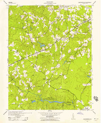
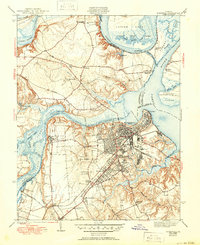
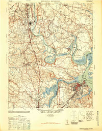
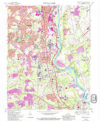
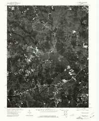
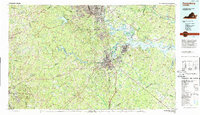
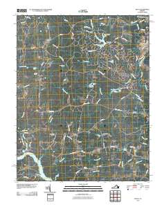
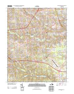
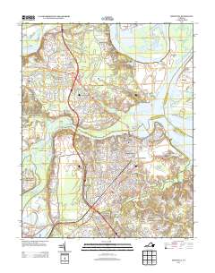
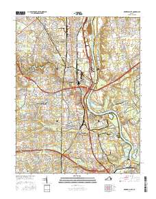
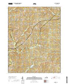
1943 Map of Chesterfield
USGS Topo · Published 1943About this map
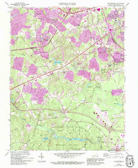
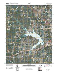
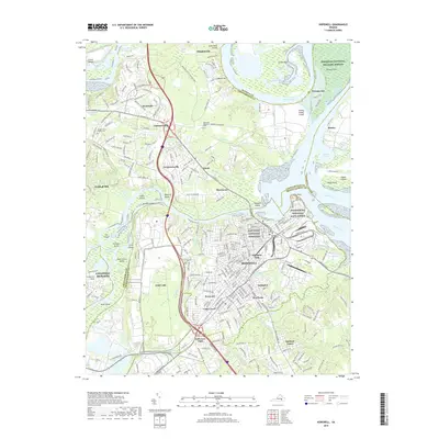
The Swift Creek Recreational Demonstration Area anchors the southern landscape of this 1943 survey, marking a significant era of public land development in Chesterfield County. Just east of the village of Chesterfield, the County Fair Ground and Shawondasee Boy Scout Camp reflect a community focused on recreation and regional gathering during the war years. The map reveals a deeply established network of rural social centers, including the Manchester School and Good Hope School, alongside numerous country sanctuaries such as Spring Creek Church and Providence Church.
Find a feature on this map
30 named features on this map. Tap any name to fly to it.
Don’t see what you’re looking for? This feature index may not catch every label — zoom into the map to look around manually.
Map Details
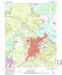
Editions of this 1943 Chesterfield Map
3 editions found
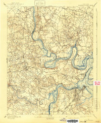
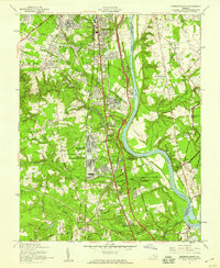
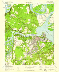
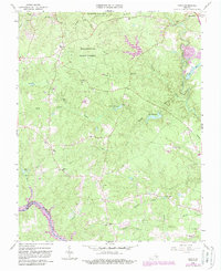
Historical Maps of Manchester Through Time
66 maps found
1894 Bermuda Hundred
Chesterfield County, VA

1938 Drewrys Bluff
Chesterfield County, VA

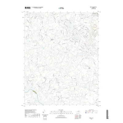
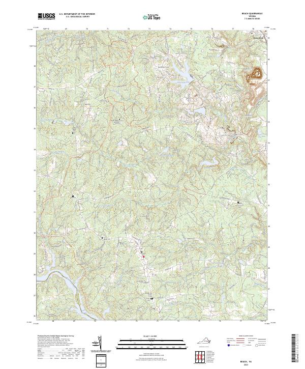
1943 Beach
Chesterfield County, VA
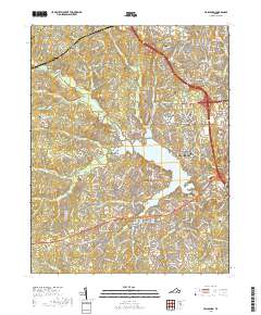
1943 Chesterfield
Chesterfield County, VA

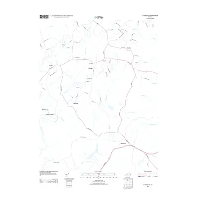
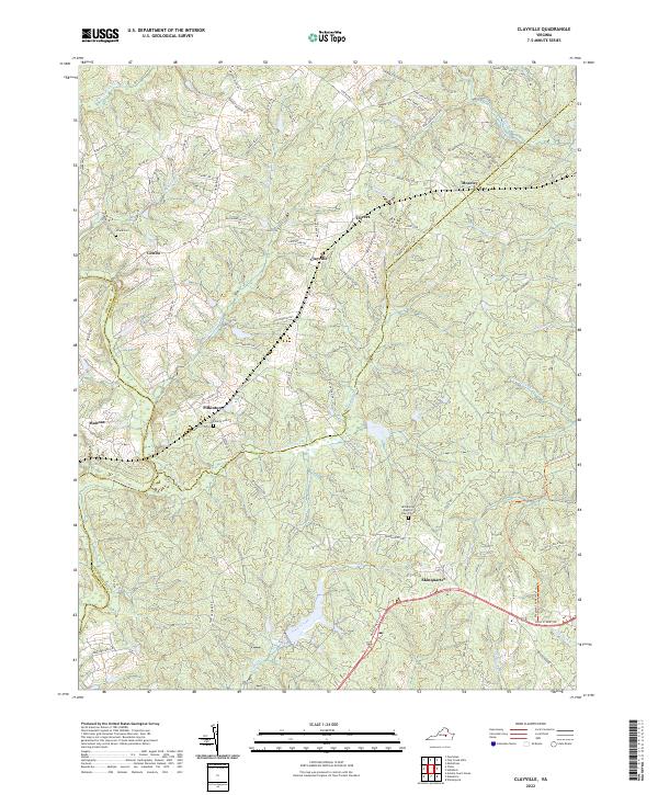
1943 Clayville
Chesterfield County, VA
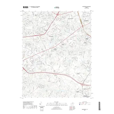
1943 Hallsboro
Chesterfield County, VA
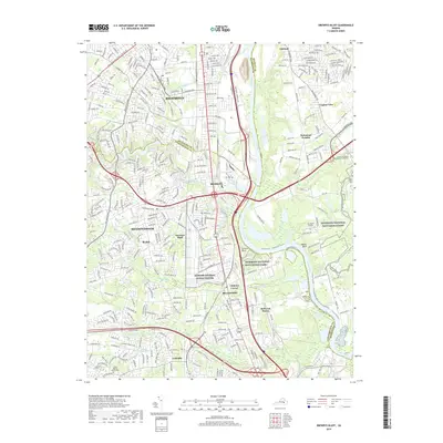
1943 Hopewell
Chesterfield County, VA

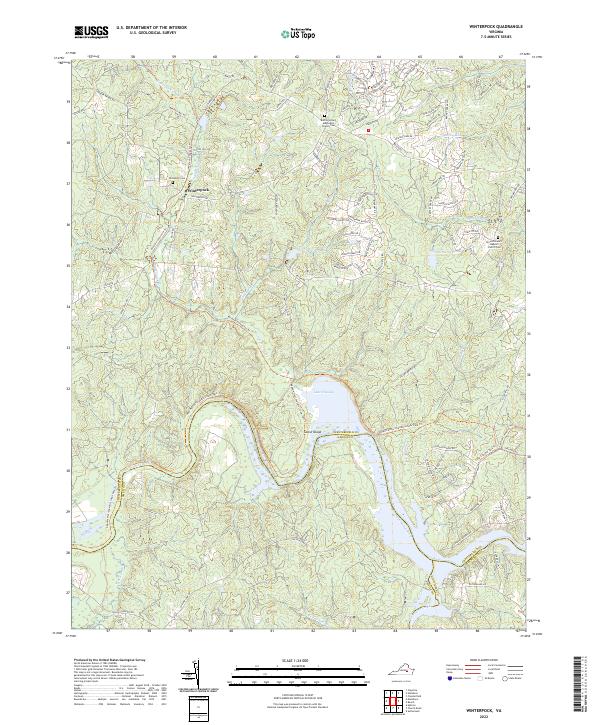
1943 Winterpock
Chesterfield County, VA
1944 Beach
Chesterfield County, VA
1944 Clayville
Chesterfield County, VA
1944 Winterpock
Chesterfield County, VA
1946 Bermuda Hundred
Chesterfield County, VA
1952 Drewrys Bluff
Chesterfield County, VA
1952 Hopewell
Chesterfield County, VA
1963 Beach
Chesterfield County, VA
1963 Chesterfield
Chesterfield County, VA
1963 Hallsboro
Chesterfield County, VA
1963 Winterpock
Chesterfield County, VA
1964 Clayville
Chesterfield County, VA
1969 Drewrys Bluff
Chesterfield County, VA
1969 Hopewell
Chesterfield County, VA
1974 Beach
Chesterfield County, VA
1974 Drewrys Bluff
Chesterfield County, VA
1974 Hallsboro
Chesterfield County, VA
1974 Hopewell
Chesterfield County, VA
1979 Clayville
Chesterfield County, VA
1979 Winterpock
Chesterfield County, VA
1984 Petersburg
Chesterfield County, VA
1994 Beach
Chesterfield County, VA
1994 Hallsboro
Chesterfield County, VA
1994 Hopewell
Chesterfield County, VA
2010 Beach
Chesterfield County, VA
2010 Chesterfield
Chesterfield County, VA
2010 Clayville
Chesterfield County, VA
2010 Drewrys Bluff
Chesterfield County, VA
2010 Hallsboro
Chesterfield County, VA
2010 Hopewell
Chesterfield County, VA
2010 Winterpock
Chesterfield County, VA
2013 Beach
Chesterfield County, VA
2013 Chesterfield
Chesterfield County, VA
2013 Clayville
Chesterfield County, VA
2013 Drewrys Bluff
Chesterfield County, VA
2013 Hallsboro
Chesterfield County, VA
2013 Hopewell
Chesterfield County, VA

2013 Winterpock
Chesterfield County, VA
2016 Beach
Chesterfield County, VA
2016 Chesterfield
Chesterfield County, VA
2016 Clayville
Chesterfield County, VA
2016 Drewrys Bluff
Chesterfield County, VA
2016 Hallsboro
Chesterfield County, VA
2016 Hopewell
Chesterfield County, VA
2016 Winterpock
Chesterfield County, VA
2019 Beach
Chesterfield County, VA
2019 Chesterfield
Chesterfield County, VA
2019 Clayville
Chesterfield County, VA
2019 Drewrys Bluff
Chesterfield County, VA
2019 Hallsboro
Chesterfield County, VA
2019 Hopewell
Chesterfield County, VA
2019 Winterpock
Chesterfield County, VA
2022 Chesterfield
Chesterfield County, VA
2022 Clayville
Chesterfield County, VA
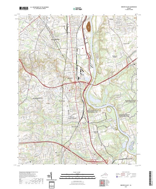
2022 Drewrys Bluff
Chesterfield County, VA
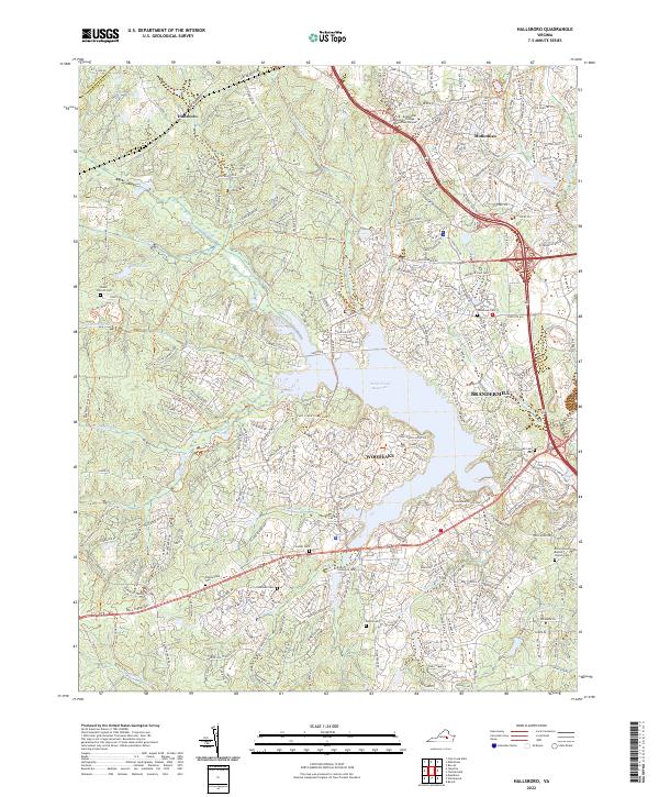
2022 Hallsboro
Chesterfield County, VA
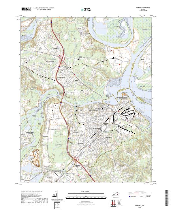
2022 Hopewell
Chesterfield County, VA
2022 Winterpock
Chesterfield County, VA
2023 Beach
Chesterfield County, VA