
1892 Map of Goochland
USGS Topo · Published 1892About this map
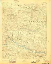
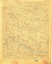
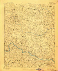
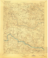
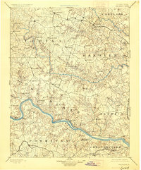
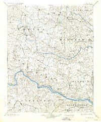
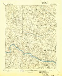
The James River and the South Anna River define the agricultural and transit corridors of central Virginia in this late 19th-century survey. The landscape is marked by a transition from the river-bottom lands around Goochland and Maidens to the rising hills of the Piedmont. Significant for local historians, the map documents the critical railroad infrastructure of the era, including the Richmond and Allegheny Railroad tracing the James and the Chesapeake and Ohio Railroad cutting through the northern reaches near Beaver Dam and Frederick Hall. The settlement pattern revealed here is one of crossroads and rural centers, where sites like Gardners Roads and Thompsons Roads indicate the historical importance of early overland travel routes. Education and faith are anchored by landmarks like Hanover Academy and Hopeful Church, providing specific points of interest for genealogical research in these traditional tobacco-growing counties.
Find a feature on this map
87 named features on this map. Tap any name to fly to it.
Don’t see what you’re looking for? This feature index may not catch every label — zoom into the map to look around manually.
Map Details
Editions of this 1892 Goochland Map
8 editions found
Other maps of this area

1887 · Spottsylvania
USGS Topo · 1:125,000

1889 · Fredericksburg
USGS Topo · 1:125,000

1890 · Goochland
USGS Topo · 1:125,000

1891 · Palmyra
USGS Topo · 1:125,000

1891 · Farmville
USGS Topo · 1:125,000

1892 · Fredericksburg
USGS Topo · 1:125,000

1892 · Spottsylvania
USGS Topo · 1:125,000

1892 · Gordonsville
USGS Topo · 1:125,000

1893 · Farmville
USGS Topo · 1:125,000

1894 · Fredericksburg
USGS Topo · 1:125,000