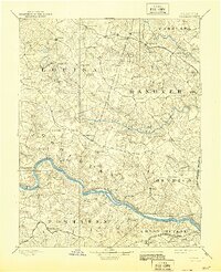
1892 Map of Goochland
USGS Topo · Published 1944About this map
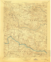
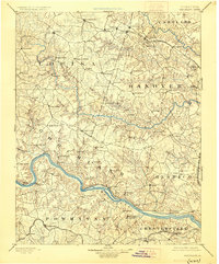
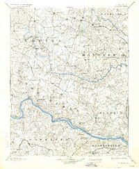
The James River and South Anna River carve through the heart of Central Virginia, defining a late 19th-century landscape dominated by river-and-rail commerce. This region, surveyed by Henry Gannett and Gilbert Thompson, shows the dense network of early crossroads and rail stops that supported the tobacco and agricultural economy of the era. The Chesapeake and Ohio Railroad traverses the northern section, connecting hubs like Frederick Hall and Beaver Dam, while the Richmond and Allegheny Railroad mirrors the winding path of the James. Local social structures are anchored by landmarks such as the Hanover Academy and Hopeful Church, alongside the mineral-springs destination at Huguenot Springs. Smaller settlements like Negro Foot and Gardners Roads appear as vital local junctions long before modern highway development bypassed these rural centers.
Find a feature on this map
88 named features on this map. Tap any name to fly to it.
Don’t see what you’re looking for? This feature index may not catch every label — zoom into the map to look around manually.
Map Details
Editions of this 1892 Goochland Map
8 editions found
Other maps of this area

1887 · Spottsylvania
USGS Topo · 1:125,000

1889 · Fredericksburg
USGS Topo · 1:125,000

1890 · Goochland
USGS Topo · 1:125,000

1891 · Palmyra
USGS Topo · 1:125,000

1891 · Farmville
USGS Topo · 1:125,000

1892 · Fredericksburg
USGS Topo · 1:125,000

1892 · Spottsylvania
USGS Topo · 1:125,000

1892 · Goochland
USGS Topo · 1:125,000

1892 · Gordonsville
USGS Topo · 1:125,000

1893 · Farmville
USGS Topo · 1:125,000