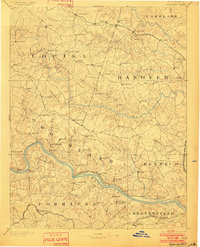
1892 Map of Goochland
USGS Topo · Published 1901About this map
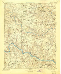
The James River and its accompanying Richmond and Allegheny Railroad define the southern landscape of this central Virginia survey. The river valley is a corridor of small settlements and mills, while to the north, the terrain transitions into a dense network of tributaries including the South Anna River and the Little River. In the northern section, the Chesapeake and Ohio Railroad connects rural outposts like Frederick Hall and Beaver Dam.
Find a feature on this map
93 named features on this map. Tap any name to fly to it.
Don’t see what you’re looking for? This feature index may not catch every label — zoom into the map to look around manually.
Map Details
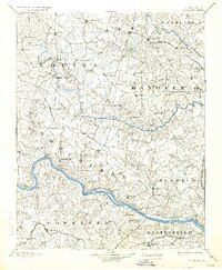
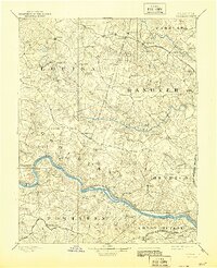
Editions of this 1892 Goochland Map
8 editions found
Other maps of this area

1887 · Spottsylvania
USGS Topo · 1:125,000

1889 · Fredericksburg
USGS Topo · 1:125,000

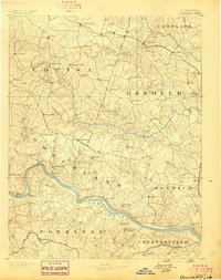
1890 · Goochland
USGS Topo · 1:125,000

1891 · Palmyra
USGS Topo · 1:125,000

1891 · Farmville
USGS Topo · 1:125,000

1892 · Fredericksburg
USGS Topo · 1:125,000

1892 · Spottsylvania
USGS Topo · 1:125,000

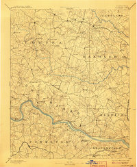
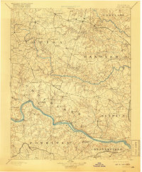
1892 · Goochland
USGS Topo · 1:125,000

1892 · Gordonsville
USGS Topo · 1:125,000

1893 · Farmville
USGS Topo · 1:125,000